What is recorded here
Located in improved pasture on a slight NNW-SSE ridge in a gently undulating landscape. It was first identified by Susan Curran as part of an M.A. thesis with University College Dublin using a LiDAR survey dataset commissioned by Leitrim County Council and the National Roads Authority. This is an oval area (dims 18m NW-SE; 14m NE-SW) defined by a complete low scarp (at SE: Wth 3.7m; H 0.55m), with a fosse (at SE: Wth of top 6.9m; Wth of base 2m; D 0.1m) NE-S-W and an outer bank (at SE: Wth of base 6.6m; Wth of top 1.2m; int. H 0.1m; ext. H 0.35m) E-SSE. There is a possible causeway entrance (Wth 3.5m) at ENE. The perimeter is truncated slightly by a NE-SW field bank at NW and a NW-SE field bank, now removed, truncated the perimeter slightly at SW.
Compiled by: Michael Moore
Date of upload: 11 May 2014
A Neolithic ring-barrow; its significance lies in its contribution to understanding early burial practices and landscape use in the region, identified through modern LiDAR technology.
The monument record does not grant public access. Check the route and ask the landowner before entering private land.
- What survives
- Recorded monument
Places near here
 MonumnetEnclosure · 1202 yd
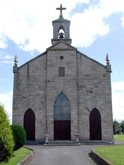 Catholic Church of the Immaculate Conceptionchurch/chapel · 1273 yd
 Sweathouse in CloonfinnanSweathouse · 1562 yd
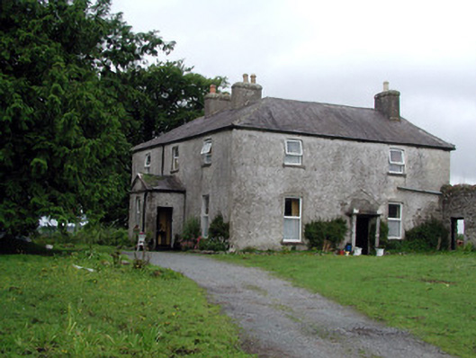 Gort Housefarm house · 2.0 mi
 Tom Dunphy MemorialMemorial · 2.2 mi
 Wildlife AreaNature reserve · 2.9 mi
 Declaration of IndependenceMemorial · 3.1 mi
 Turlough O'Carolan MonumentHeritage attraction · 3.2 mi
 InishmoylinIslet · 3.3 mi
 Cavan & Leitrim RailwayMuseum · 3.4 mi
 Coarse IslandForest · 3.4 mi
 Dockery's IslandIslet · 3.6 mi