What is recorded here
Situated on the summit of a low E-W ridge in undulating pasture-land. Not indicated on 1st ed. (1840) OS 6-inch map but depicted on the 1954 ed. as a small enclosure with a central mound. The present remains consist of a low circular platform (diam. 16.2m N-S; 15.3m E-W to boundary fence) with the suggestion of a bank at SW and NE (Wth 2.5m; int. H 0.15m; ext. H 0.3-0.6m). The site appears to have been levelled to an extent, the bank being flattened and there is no trace of the central mound. A post and wire fence with a conifer hedgerow, extending N-S, transects the SE sector and forms the boundary of the front garden of the adjacent bungalow. Some limestone protrudes from the surface of the site near the edge at S. A break in the bank (Wth c. 2m) at W may be the remains of a possible entrance.
The above description is derived from 'The Archaeological Inventory of County Tipperary. Vol. 1 - North Tipperary' compiled by Jean Farrelly and Caimin O'Brien (Dublin: Stationery Office, 2002). In certain instances the entries have been revised and updated in the light of recent research.
Date of upload/revision: 22 September 2008
A ring-barrow, likely dating to the Early Bronze Age, associated with burial practices involving a central mound and possible kerb stones. Its depiction on the 1954 OS map suggests survival of a prehistoric monument, though specific archaeological significance remains undocumented.
This remains an important historical record, but the official description says the monument is no longer visible or has been destroyed. The monument record does not grant public access. Check the route and ask the landowner before entering private land.
- What survives
- No visible remains or recorded as destroyed
Places near here
 St. Cronans WellHoly well · 635 yd
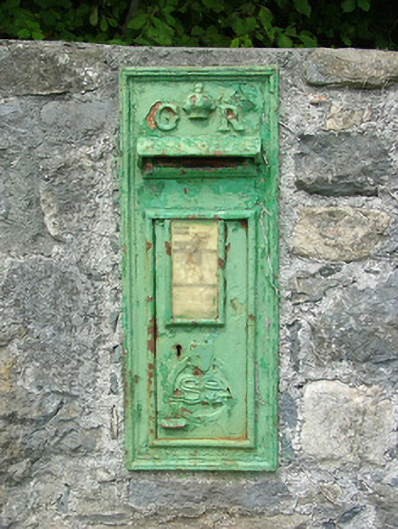 post boxpost box · 1511 yd
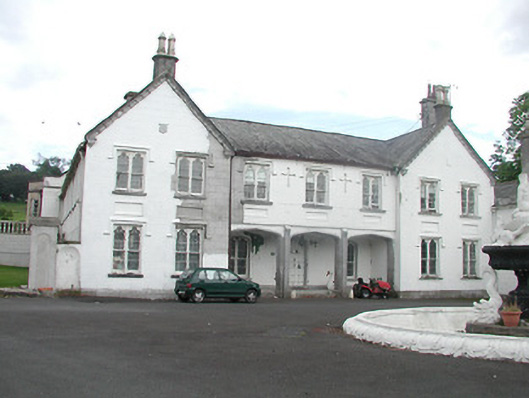 Inane Housecountry house · 1662 yd
 Ladys WellHoly well · 1755 yd
 White MulberryWhite Mulberry · 1.3 mi
 CastleCastle, unclassified · 1.4 mi
 Coolock WoodForest · 1.6 mi
 Roscrea Petty Sessions HouseHeritage attraction · 1.7 mi
 Castle in ruinsHouse, fortified house · 2.1 mi
 Eagle HillMountain / peak · 2.4 mi
 Golden Grove HillMountain / peak · 2.4 mi
 Millennium GardenMemorial · 2.5 mi