What is recorded here
In level rough grazing, on E bank of stream. Circular area (24.8m NE-SW; 23.8m NW-SE) enclosed by shallow marshy fosse (D c. 0.25m) with low bank NE->ESE and SSW->WNW. Bank cut away NW->N by stream and associated drain.
The above description is derived from the published 'Archaeological Inventory of County Cork. Volume 4: North Cork' (Dublin: Stationery Office, 2000). In certain instances the entries have been revised and updated in the light of recent research.
Date of upload/revision: 14 January 2009
The monument record does not grant public access. Check the route and ask the landowner before entering private land.
- What survives
- Recorded monument
Places near here
 Kilgrogan Grave YardGraveyard · 737 yd
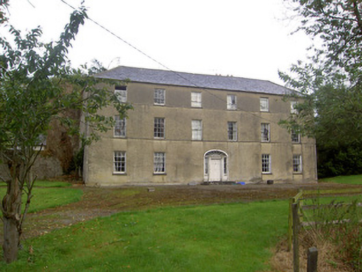 Churchtown Housecountry house · 1015 yd
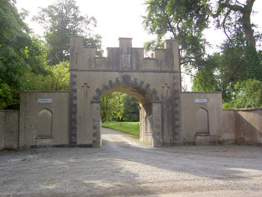 Burton Parkgates/railings/walls · 1151 yd
 Churchtown Horse Racing HeritageMonument · 1228 yd
 Ballyhoura WayWalking route · 1272 yd
 Castle (Site of)Castle, unclassified · 1272 yd
 Windmill HillMountain / peak · 1289 yd
 Churchtown TrailsVisitor information · 2.0 mi
 Templeconnell Castle (in Ruins)Castle, tower house · 2.1 mi
 Buttevant Rail DisasterMemorial · 3.5 mi
 Battle of LiscarrollMajor battlefield · 3.6 mi
 Lady's WellSpring · 3.8 mi