What is recorded here
Enclosure (LI032-049001-) and ring-barrows described in 1942-3 as following; 'This is a circular earthen platform surrounded by two banks and two fosses. The entrance is not recognisable. The maximum height of the platform over the fosse-bottom is 5' [1.5m] and the overall diameter is 306' [93m]. A fence and drainage trench have cut through the west side of the defences and another trench has cut through them on the south. Situated in wet low-land. In the field immediately to the N.E. of this there were at least three ring-barrows (LI032-149002-/003-/004-), one of which now remains. This consists of a very slight mound surrounded by a fosse. The overall diameter is 18' [6m]. The field is a meadow and the other barrows were levelled to facilitate the operation of machinery therein. Nothing was found when they were cleared away' (O'Kelly 1942-3, 237). Cropmark of enclosure (LI032-149001-) visible today on Digital Globe aerial photographs. No cropmark visible today of levelled barrows in field to NE of enclosure.
Compiled by: Caimin O'Brien
Date of upload: 4 March 2020
A Neolithic ring-barrow; part of a burial complex within an enclosure. Its construction reflects early ceremonial and funerary practices in the British Isles.
The monument record does not grant public access. Check the route and ask the landowner before entering private land.
- What survives
- Recorded monument
Places near here
 BarrowBarrow, unclassified · 79 yd
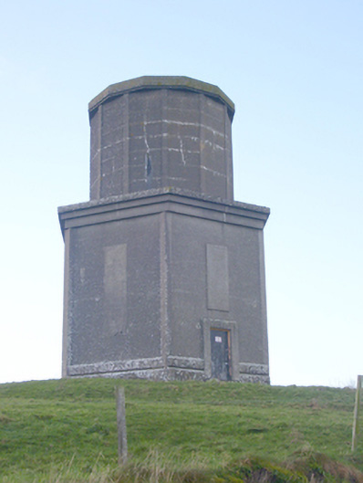 water towerwater tower · 348 yd
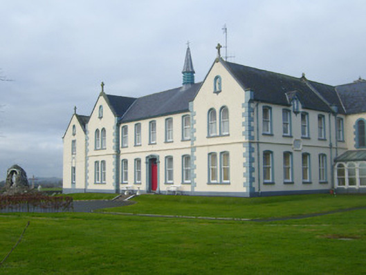 Presentation Conventconvent/nunnery · 472 yd
 St Johns Well (Site of)Holy well · 651 yd
 Flat cemetery in Knockainy WestFlat cemetery · 1.4 mi
 CastleCastle, motte · 1.4 mi
 Ballynamona Castle (Site of)Castle, unclassified · 1.6 mi
 Kilteely HillMountain / peak · 2.8 mi
 St. Patrick's WellSpring · 3.3 mi
 St Patrick's WellSpring · 3.7 mi
 Ballinvreena LoopVisitor information · 6.3 mi
 SlievereaghMountain / peak · 7.2 mi