What is recorded here
In pasture, located on a rise in an area of rolling limestone grassland bordered 200m to NW by the Deel River. Nephin Mountain is prominently visible to SSW and the Nephin Beg Range extends along the skyline to W.
Circular area (diam. 9.3m; H 0.45m) defined by a fosse (Wth 1.7-2m) with an external bank (Wth 1.9m at S, 2.72m at N; int. H 0.35m at S, 0.6m at N; ext. H 0.3-0.4m). Ext. diam. (mid bank) 14.6m. The central platform is level and well defined by the shallow fosse. The external bank is low but well defined, and is constructed of stony earth. It has a broad external slump at N and NW, and at S merges with the natural fall of ground. A section of the fosse and external bank at E have been overlain by a N–S field fence. There is another ringbarrow (MA038-053001) c. 80 to NW, and a possible cairn (MA038-053003) c. 50m to W. A cluster of other ringbarrows and possible barrows (MA038-050; MA038-051; MA038-052; MA038-146) are located in adjacent fields within a range of c. 150-300m to W, NW and NE. There is a possible ringcairn (MA038-054) c. 300m to SSW.
Compiled by: Jane O'Shaughnessy
Date of upload: 29 July 2019
A Neolithic ring-barrow; significant as a rare surviving funerary monument in the region, reflecting early burial practices associated with the passage tomb culture of western Ireland.
The monument record does not grant public access. Check the route and ask the landowner before entering private land.
- What survives
- Recorded monument
Places near here
 IndicatedFairy fort / earthen ringfort · 547 yd
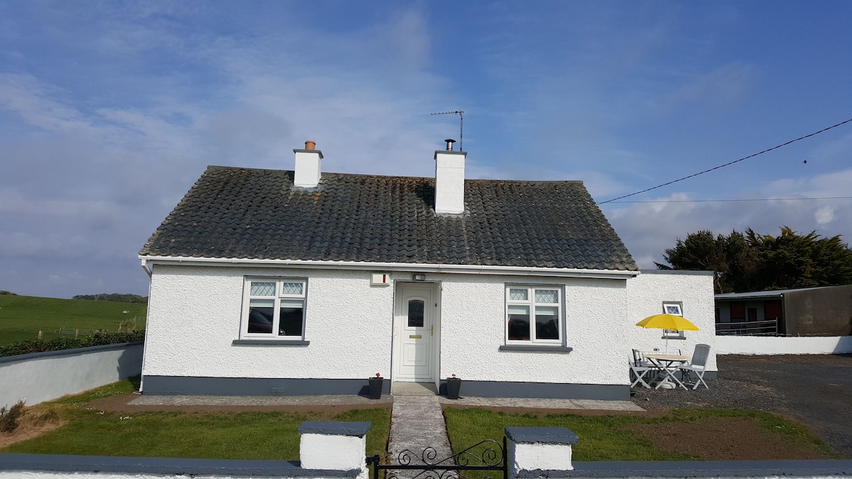 Enclosure in BengeeryEnclosure · 624 yd
 Church in ruinsChurch · 1443 yd
 Catholic Church of Our Ladychurch/chapel · 1465 yd
 Grave of the KingsArchaeological place · 1655 yd
 RathmoreCastle, motte · 1.3 mi
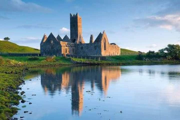 Castle in RuinsCastle, tower house · 1.5 mi
 Castle IslandIslet · 2.2 mi
 Roe IslandIslet · 2.6 mi
 Titanic Memorial ParkMemorial · 3.6 mi
 NephinMountain / peak · 4.9 mi
 KnockaffertaghMountain / peak · 8.2 mi