What is recorded here
Standing to the N of the summit of Carbury Hill (OD 470’) and one of four closely associated sites; with a ringbarrow (KD008-005----), c. 20m to the SW, a second ringbarrow (KD008-004----) c. 50m to the WNW and a possible mound barrow (KD008-003----), c. 125m to the SSW, on the summit of the hill.
KD008-048---- was reported by Jean-Charles Caillere. Visible on Google Earth aerial imagery (18-4-2009) as a slightly raised circular area (diam. c. 9m) enclosed by a narrow fosse with traces of a possible outer bank visible NW-NE (est. ext. diam. c. 13m).
See attached image: CL008-048----_01 Snip from Google Earth aerial image dated 18-4-2009.
Compiled by: Gearóid Conroy
Date of upload: 9 June 2023
A ring-barrow, likely dating to the Early Bronze Age, and part of a small burial group on Carbury Hill, indicating a significant funerary landscape in the region.
The monument record does not grant public access. Check the route and ask the landowner before entering private land.
- What survives
- Recorded monument
Places near here
 Wall monument in CarburyWall monument · 234 yd
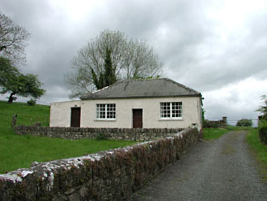 Carbury National Schoolschool · 239 yd
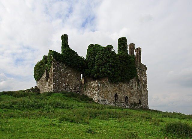 IndicatedHouse, fortified house · 351 yd
 Carbury CastleCastle · 352 yd
 Bog OakMonument · 763 yd
 Trinity WellHoly well · 1273 yd
 Buggan's WoodWood · 2.6 mi
 Horse-chestnutHorse-chestnut · 3.0 mi
 The Fairy BowerHeritage attraction · 6.1 mi
 Lullymore Heritage ParkHeritage attraction · 6.1 mi
 Sli na Slainte - mapVisitor information · 8.5 mi
 Grand Canal WayVisitor information · 8.9 mi