What is recorded here
Standing to the N of the summit of Carbury Hill and one of four closely associated sites; another, larger, ringbarrow (KD008-004----), c. 20m to the NW, and a possible mound barrow (KD008-003----), c. 85m to the SSW (on the summit of the hill), all three excavated by Willmot in 1936 under a State financed scheme for the relief of unemployment (1938, 130-42). A fourth possible ringbarrow (KD008-048----) was recently reported by Jean-Charles Caillere and lies c. 25m NE of KD008-005----.
KD008-005---- is Wilmot’s ‘Site A’. A circular area (ext. diam. c. 26m) was defined by an inner, rock-cut fosse (av. Wth c. 2.4m; D c. 0.45-c.0.9m) and an outer 'bank' (Wth av. c. 4.8m; H c. 0.6m) constructed of broken, rubble limestone. Opposing entrance gaps occurred at NW (Wth c. 3.65m) and SE (Wth c. 2.4m) and were matched by corresponding, undug, causeways across the fosse. The circular interior (diam. c. 11.6m) was covered by a layer of broken rock (D c. 0.3m) and contained a centrally placed cremation. A second cremation was found in the fosse at N. Finds included eight worked flints, a spindle whorl, two sherds of red 'gritless' pottery, a jet spoon, an iron file and a fragment of fused blue glass. An Iron Age date was suggested for the monument, which was subsequently restored to its original shape.
Compiled by: Gearóid Conroy
Date of revision: 8 June 2023
A ring-barrow, likely dating to the Early Bronze Age; it is part of a small barrow group, indicating a significant ceremonial or funerary landscape.
The monument record does not grant public access. Check the route and ask the landowner before entering private land.
- What survives
- Recorded monument
Places near here
 Wall monument in CarburyWall monument · 266 yd
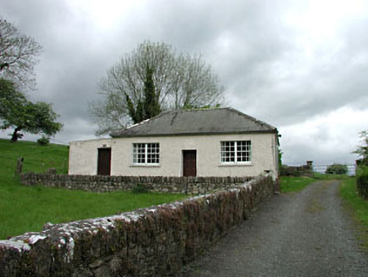 Carbury National Schoolschool · 271 yd
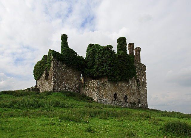 IndicatedHouse, fortified house · 381 yd
 Carbury CastleCastle · 382 yd
 Bog OakMonument · 767 yd
 Trinity WellHoly well · 1282 yd
 Buggan's WoodWood · 2.6 mi
 Horse-chestnutHorse-chestnut · 3.0 mi
 The Fairy BowerHeritage attraction · 6.1 mi
 Lullymore Heritage ParkHeritage attraction · 6.1 mi
 Sli na Slainte - mapVisitor information · 8.4 mi
 Grand Canal WayVisitor information · 8.9 mi