What is recorded here
In pastureland. According to McCaffrey (1952, 25, no. 136; 1955, 222), this was a circular ring-barrow (diam. 20.5m) defined by a low flat-topped mound (diam. 8.8m; H 0.9m) encircled by a fosse and external bank; the NW half of the monument was destroyed during construction of the railway line which cuts across it from NE to WSW. No visible surface trace survives.
Compiled by: Galway Archaeological Survey, UCG
Date of upload: 9 August 2019
A Neolithic ring-barrow, dating to the Early to Middle Bronze Age, characterized by a central mound within a ditch and external bank; such monuments are significant for understanding burial practices and social organization in prehistoric Ireland.
This remains an important historical record, but the official description says the monument is no longer visible or has been destroyed. The monument record does not grant public access. Check the route and ask the landowner before entering private land.
- What survives
- No visible remains or recorded as destroyed
Places near here
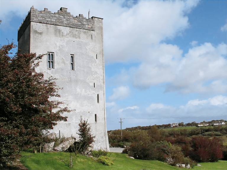
 Cloghroak Castle (in ruins)Castle, tower house · 754 yd
 IndicatedFairy fort / stone ringfort · 798 yd
 Field system in Ballybaun (dunkellin By.)Field system · 840 yd
 MonksfieldCountry house · 1.3 mi
 Cregaclarefarmyard complex · 1.3 mi
 Castle (in ruins)Castle, Anglo-Norman masonry castle · 2.0 mi
 Drumharsna CastleHeritage attraction · 3.8 mi
 HawthornHawthorn · 4.3 mi
 European ashEuropean ash · 4.3 mi
 KnockapollboyMountain / peak · 6.8 mi
 Mulroney's IslandIslet · 7.6 mi
 Mweenish PointHeadland · 8.6 mi