What is recorded here
Eight barrows cluster on a narrow esker in County Kildare, six joined inside a circular enclosure while two sit slightly downhill and alone. The close group suggests a shared ceremony or a single family line, yet the two outsiders hint that belonging could be drawn in more than one way. Nettles and pasture have softened the edges, but the separation remains clear: together at the top, apart below.
Eight barrows occupy the fairly level, nettle-covered, narrow upper surface of a short, N-S esker in level pasture, with evidence of previous extensive sand/gravel extraction immediately to the N and E. Six contiguous barrows (KD019-001001-, KD019-001002-, KD019-001003-, KD019-001006-, KD019-001008-, KD019-001009-) run N-S, in-line at the N end of the esker and are contained in an enclosure (KD019-001004-) which girdles the lower slopes of the esker, while a seventh and eight barrow (KD019-001005-, KD019-001007-, ) lies c. 48m slightly down slope, and outside the enclosure, to the S. KD019-001---- is the most northerly barrow in the group. A small circular area (diam. 8m) is defined by a shallow inner fosse (Wth 1.9-3m; D 0.1-0.4m), and by a low, narrow, round-topped, outer earthen bank (Wth 1.4m; int H 0.1-0.4m; ext H 0.3-0.7m) SE-WSW and WNW-NE. A second barrow (KD019-001002-) abuts the monument at S.
Compiled by: Gearóid Conroy
Revised by: Caimin O'Brien with details kindly provided by Chris Corlett
Date of revised upload: 29 November 2018
A Neolithic ring-barrow; part of a barrow group on an esker, indicating early ritual or burial use of elevated landforms. Its location suggests a broader ceremonial landscape, though specific significance remains poorly documented.
The monument record does not grant public access. Check the route and ask the landowner before entering private land.
- What survives
- Recorded monument
Places near here
 IndicatedEnclosure · 16 yd
 Digby Bridge and 16th Lockbridge · 987 yd
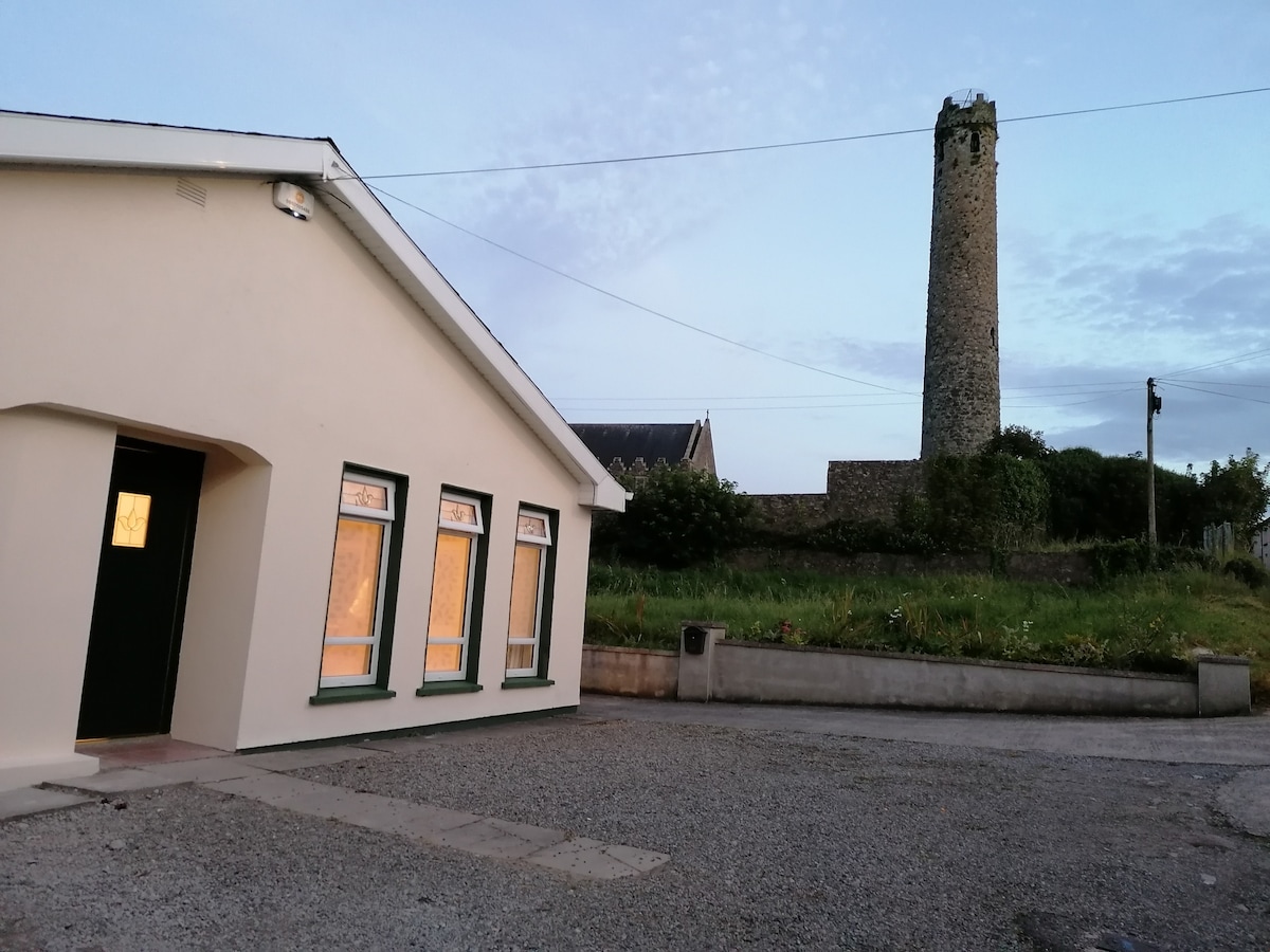 Enclosure in BallysizeEnclosure · 1187 yd
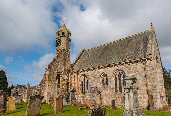 Brides Church (in ruins)Church · 1437 yd
 Sallins LodgeCastle, tower house · 1.6 mi
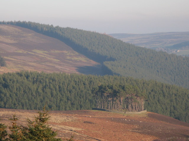 TumulusWood · 1.9 mi
 Museum of MotorsportMuseum · 2.0 mi
 Castle (in Ruins)Castle, unclassified · 2.0 mi
 Naas ParkWood · 2.3 mi
 Poplar SquarePicnic place · 2.8 mi
 Grand Canal WayVisitor information · 5.0 mi
 Athgoe HillMountain / peak · 7.9 mi