What is recorded here
On low-lying pastureland at the interface between reclaimed pastureland to the E and wet marshy land to the W. This poorly preserved ring-barrow (11.7m E-W) is defined by a central mound (3m E-W; H 0.6m), internal fosse (Wth 3.3m) and outer bank (Wth 1.7m; base Wth 5.4m; int. H 0.5m; ext. H 0.85m). The fosse and outer bank are visible from S through W to N. Stone revetment is visible along the outer face of the bank at SW. It is densely overgrown with briars and thorn bushes. A modern field wall cuts through the barrow at NNE and SSE and beyond it to the E, it is obscured by rubble from field clearance.
Compiled by: Olive Alcock
Date of upload: 13 February 2019
A Neolithic ring-barrow; its central mound and internal fosse indicate a ceremonial or funerary function, typical of early burial practices in Ireland.
The monument record does not grant public access. Check the route and ask the landowner before entering private land.
- What survives
- Recorded monument
Places near here
 Man-made underground passageMan-made underground passage · 186 yd
 Field system in BallynascraghField system · 309 yd
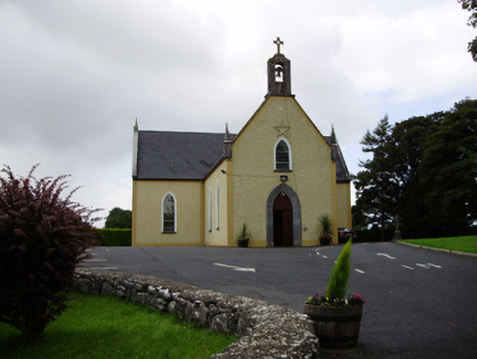 Saint Killian's Catholic Churchchurch/chapel · 314 yd
 Ballymanagh Ho.House, 18th/19th century · 372 yd
 CarnanthomasCastle, unclassified · 1159 yd
 Cregg Castle (in ruins)Castle, tower house · 1.0 mi
 Moyard WoodWood · 4.5 mi
 Kilcornan ForestWood · 6.3 mi
 Drumacoo Monastic SiteHeritage attraction · 7.8 mi
 MweenisharanIslet · 9.3 mi
 Mulroney's IslandIslet · 10 mi
 Structure in BallynascraghStructure · 329 yd