What is recorded here
Situated at the base of a S facing slope in poorly drained pasture. Possible ring-barrow (overall diam. 35m N-S x 37.5m E-W) described by the Castleisland District Archaeological Survey as a circular-shaped area (diam. 25.9m N-S x 27.5m E-W) defined by a fosse, bank, external fosse and possible outer bank. Outline of monument clearly visible on Digital Globe orthoimage taken between 2011-13.
See attached Google Earth orthoimages
Compiled by: Caimin O'Brien
Date of upload: 7 June 2022
A ring-barrow, likely dating to the Early Bronze Age; its circular form and location suggest a funerary or ceremonial function, though specific significance remains unclear due to incomplete documentation.
The monument record does not grant public access. Check the route and ask the landowner before entering private land.
- What survives
- Recorded monument
Places near here
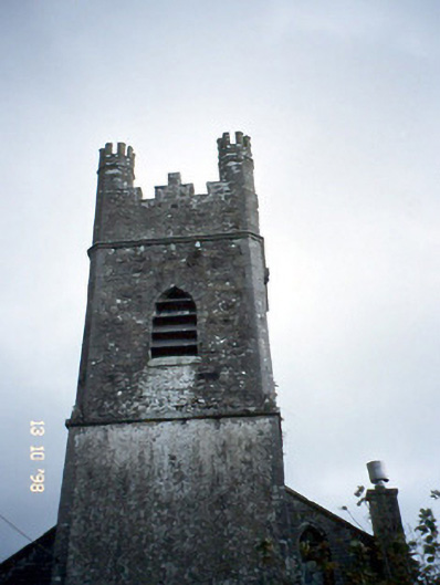 Ballymacelligott Churchchurch/chapel · 614 yd
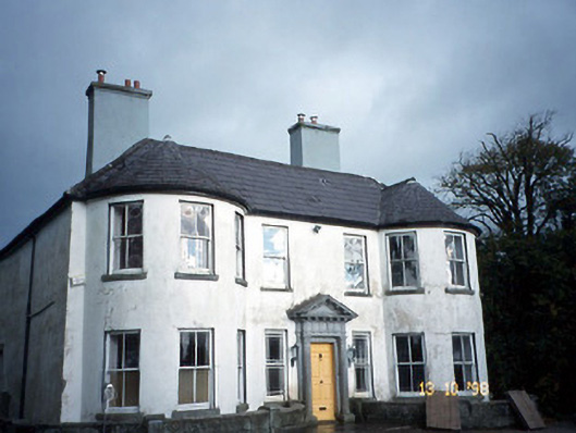 Arabela Househouse · 665 yd
 Site of McElligotts CastleCastle, unclassified · 759 yd
 Bealagrellagh CastleCastle · 1143 yd
 Field system in Ballymacthomas,coolnadeadField system · 1283 yd
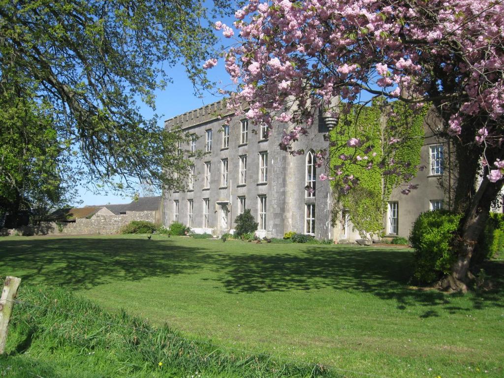 Enclosure in Ash-HillEnclosure · 1341 yd
 PoulatouirtCave · 1.7 mi
 Common AlderCommon Alder · 1.9 mi
 Poulclashcannon (blocked)Cave · 1.9 mi
 Ballygamboon Forest Recreation AreaWood · 4.1 mi
 Civil War MemorialMemorial · 4.2 mi
 Scotia's GraveArchaeological place · 4.5 mi