What is recorded here
On a high hill c. 500m SW of Dromoland Lough. A possible barrow defined by a bank and fosse (overall diam. c. 27m) is visible on OSi MapGenie (2013-2018). Reported to the National Monuments Service by Ros Ó Maoldúin. An enclosure (CL042-140----) lies c. 30m to the E and an 18th century turret is c. 70 to the S. An unclassified barrow (CL042-123----) lies c. 200m to the SW on the same hill.
Compiled by: Mary Tunney
Date of upload: 16 August 2022
Ring-barrow, likely dating to the Early Bronze Age. Its location on a prominent hill suggests it may have been a significant burial or ceremonial site in the local landscape.
The monument record does not grant public access. Check the route and ask the landowner before entering private land.
- What survives
- Recorded monument
Places near here
 belvederebelvedere · 120 yd
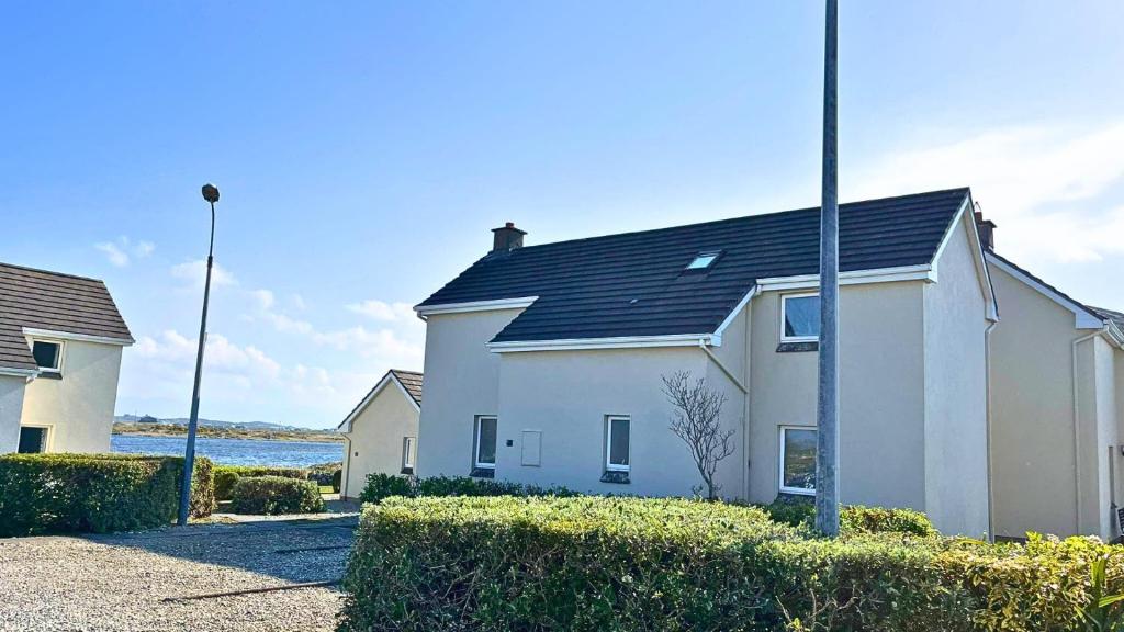 Enclosure in BallyconneelyEnclosure · 208 yd
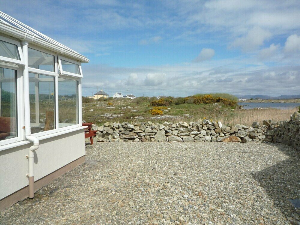 Enclosure in Ballyconneely,ballygirreenEnclosure · 374 yd
 Dromoland CastleCastle, unclassified · 906 yd
 HawthornHawthorn · 1210 yd
 Castle (Site of)Castle, unclassified · 1213 yd
 Latoon Bridgebridge · 1.1 mi
 Mooghaun WoodsWood · 1.4 mi
 Mooghaun HillfortArchaeological place · 1.6 mi
 G.A.A. Commemorative StoneMemorial · 3.2 mi
 Irish Famine MemorialMemorial · 3.2 mi
 Quin AbbeyHeritage attraction · 3.5 mi