What is recorded here
Situated on flat poorly drained land with good views to SE and higher ground to W. A large spring well marked as 'The Big Well' on the OS 6-inch map lies 40m to S. Present remains consist of a waterlogged low circular shaped mound enclosed by a shallow fosse and low earthen bank intersected at E by public road running NNW-SSE.
Compiled by: Caimin O'Brien
Date of upload: 1 February 2018
A ring-barrow, likely dating to the Early Bronze Age. Its location near a significant spring suggests ritual or symbolic importance in the landscape.
The monument record does not grant public access. Check the route and ask the landowner before entering private land.
- What survives
- Recorded monument
Places near here
 Church (in Ruins)Church · 522 yd
 Ecclesiastical enclosure in RathgarveEcclesiastical enclosure · 536 yd
 CrossCross, Wayside cross · 648 yd
 Hachured, dotted outlineCastle, motte and bailey · 666 yd
 CastleCastle, tower house · 1031 yd
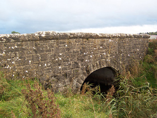 Stonestown Bridgebridge · 1273 yd
 European ashEuropean ash · 1.6 mi
 Rock of CurryCliff · 2.1 mi
 Silver FirSilver Fir · 2.2 mi
 Mullaghmeen ForestPicnic place · 2.6 mi
 Mullaghmeen Red WalkWalking route · 2.9 mi
 Mullaghmeen White WalkWalking route · 3.1 mi