What is recorded here
Located towards the bottom of the N-facing slope of the Loughcrew Hills. Land Commission works during 1935 revealed two cists, which were largely destroyed before they could be investigated (E001127), but they were in a circular enclosure (diam. c. 25m) defined by a shallow fosse (Raftery 2011, 346). One cist was rectangular (dims 0.9m x 0.75m; D 0.46m) but without a capstone and it contained yellow clay with charcoal inclusions. The second cist was also rectangular in plan with a capstone. It was also filled with yellow clay that had charcoal inclusions, and a few fragments of bone were recovered. A third cist (ME009-055----) was discovered at the same time about 600m to the N. The location of this barrow is revised c. 270m to the S of that in Moore (1987, 21, No. 76) after the discovery of a new map.
The above description is derived from the published 'Archaeological Inventory of County Meath' (Dublin: Stationery Office, 1987). In certain instances the entries have been revised and updated in the light of recent research.
Compiled by: Michael Moore
Date of revision: 3 March, 2017
Neolithic ring-barrow, dating to approximately 3000–2500 BCE. Its location within the Loughcrew Hills places it in a significant landscape of early megalithic monuments, though its archaeological potential was compromised by early destruction.
The monument record does not grant public access. Check the route and ask the landowner before entering private land.
- What survives
- Recorded monument
Places near here
 Enclosure in Ballinvally,drumsawry OR SummerbankEnclosure · 392 yd
 Enclosure in BallinvallyEnclosure · 403 yd
 Loughcrew Megalithic TombsHeritage attraction · 902 yd
 Slieve Na CalliaghMountain / peak · 999 yd
 LoughcrewMegalithic tomb cemetery · 1153 yd
 indicatedChurch · 1231 yd
 CastleCastle, unclassified · 1245 yd
 Carnbane WestMountain / peak · 1302 yd
 C11Named rock · 1322 yd
 Oliver Plunkett memorialMemorial · 1.4 mi
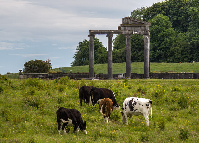 Loughcrew House porticoRuins · 1.5 mi
 Common LimeCommon Lime · 1.5 mi