
What is recorded here
In pasture sloping gently NE, a possible ring-barrow (LI040-014----) lies 140m to the NE. Not marked on OSi historic maps. Identified by Tarbett (1989, 7) as one of two ring-barrows, ‘Ringbarrow A’ and described as follows; ‘This barrow, located in the NE quadrant of the field is the better surviving of the two monuments. It is relatively small measuring only 10m in diameter from mid bank to mid bank. It is outlined mostly by a shallow fosse with a maximum depth of 20cm. The fosse encircles a slightly raised interior platform which is ovoid in shape and which slopes to the NE. A low sized enclosing bank is only noticeable at the SE where it measures no more than 20cm in height.’ No surface remains visible on OSi orthophotograph taken between 2005-12 and on Google Earth orthoimages. Uncertain about location of monument on the Historic Environment Viewer.
See attached location map and drawing from C. Tarbett and Google Earth orthoimage.
Compiled by: Fiona Rooney
Date of upload: 12 May 2021
The monument record does not grant public access. Check the route and ask the landowner before entering private land.
- What survives
- Recorded monument
Places near here
 BarrowBarrow, ring-barrow · 174 yd
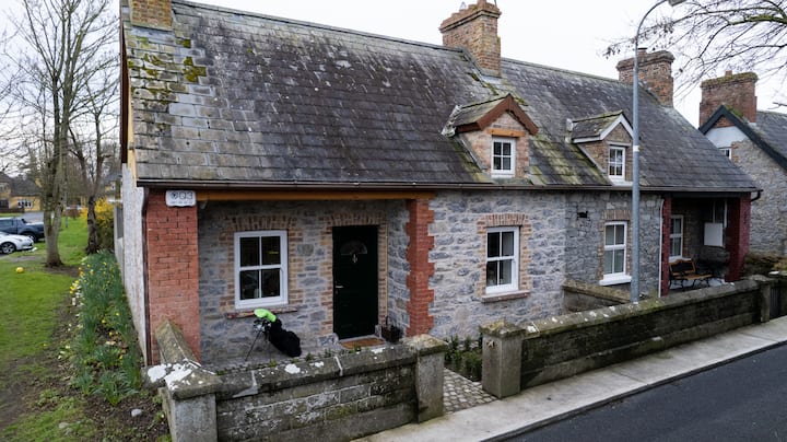 Enclosure in BaggotstownEnclosure · 591 yd
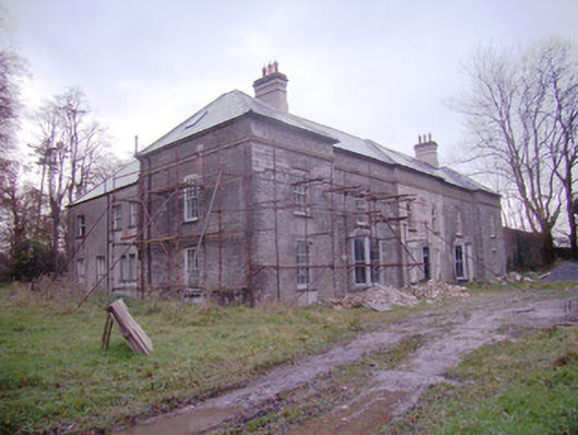 Baggotstown Housecountry house · 1037 yd
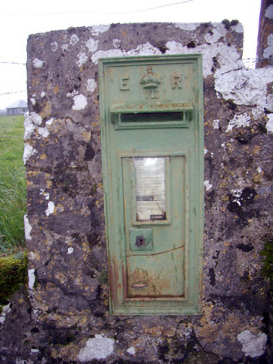 post boxpost box · 1247 yd
 Knockainy Castle (in ruins)Castle, tower house · 1742 yd
 KnockainyMountain / peak · 1.0 mi
 Baggotstown Castle (in Ruins)House, fortified house · 1.1 mi
 Flat cemetery in Knockainy WestFlat cemetery · 1.5 mi
 Glen BogForest · 1.8 mi
 St Patrick's WellSpring · 4.4 mi
 Edmund's WellSpring · 5.2 mi
 Kilteely HillMountain / peak · 5.2 mi
Other information
Photo: Credit not shown in the picture search · Rights wording not checked; contact us if this picture should be removed