
What is recorded here
Ring barrow discovered by Frank Coyne in summer of 2010. He describes it as follows:
'This ring barrow is located in a large open field, devoted to pasture, to the W of Kilmallock town, in the townland of Ash Hill. It is situated 170m to the W of the outer extent of the edge of the proposed development, and 40m to the S of Greenfield Road. A low circular grass‐covered mound (5.5m in diameter) is defined by a 1.5m wide fosse, with an outer bank (1.6m wide by 0.2m high above exterior ground level. The bank is denuded at SE, where a 6m wide gap occurs. This may represent the location of the original entrance.'
A Neolithic ring barrow, dating to approximately 3000–2500 BCE, likely used as a single burial monument. Its presence in the Ash Hill area indicates early settlement and ritual activity in the wider Limerick region.
The monument record does not grant public access. Check the route and ask the landowner before entering private land.
- What survives
- Recorded monument
Places near here
 Megalithic structure in Ash HillMegalithic structure · 355 yd
 Outwork in Ash HillOutwork · 440 yd
 Catholic Church of Saint Peter and Saint Paulchurch/chapel · 519 yd
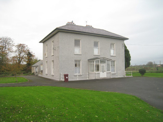 Abbey Viewhouse · 564 yd
 Kings CastleCastle, tower house · 638 yd
 King John's CastleCastle · 639 yd
 Site of Castle CooteBawn · 718 yd
 Kilmallock AbbeyHeritage attraction · 788 yd
 St Bridget's WellSpring · 1.9 mi
 Lady's WellSpring · 3.0 mi
 Holy Cross CemeteryGraveyard · 5.2 mi
 Ballyhoura tourist informationVisitor information · 5.7 mi
Other information
Photo: Credit not shown in the picture search · Rights wording not checked; contact us if this picture should be removed