What is recorded here
On top of a natural sand hill. Described by Prendergast in 1954 as consisting of, ‘a central raised platform surrounded by one fosse and outer bank, all dug into and piled up on what is apparently a natural gravel mound. The fosse is interrupted in three places where an undug strip affords an entrance to the central area’. An accompanying sketch shows three entrances, at the NE, SE and W and gives the internal diameter as 37 yards [c. 34m] (NMI Correspondence Files, 17 May 1954). The bank, which was, ‘said to have been low, only 2 or 3 feet [0.6-0.9m] high’, was levelled in October 1954 (OPW Correspondence Files, 18 October 1954). Gibbons (1990, 6) speculated that this might have been a henge. Certainly three causewayed entrances to the interior, if they are all original, is unusual. However, given the size of the monument, and with an external bank and internal fosse, it is more likely to be a ring-barrow.
Compiled by: Jean Farrelly
Date of upload: 27 March 2023
A Neolithic ring-barrow; significant as a rare example of a funerary monument incorporating a natural gravel mound, reflecting early burial practices in the region.
The monument record does not grant public access. Check the route and ask the landowner before entering private land.
- What survives
- Recorded monument
Places near here
 The Factorymill (water) · 498 yd
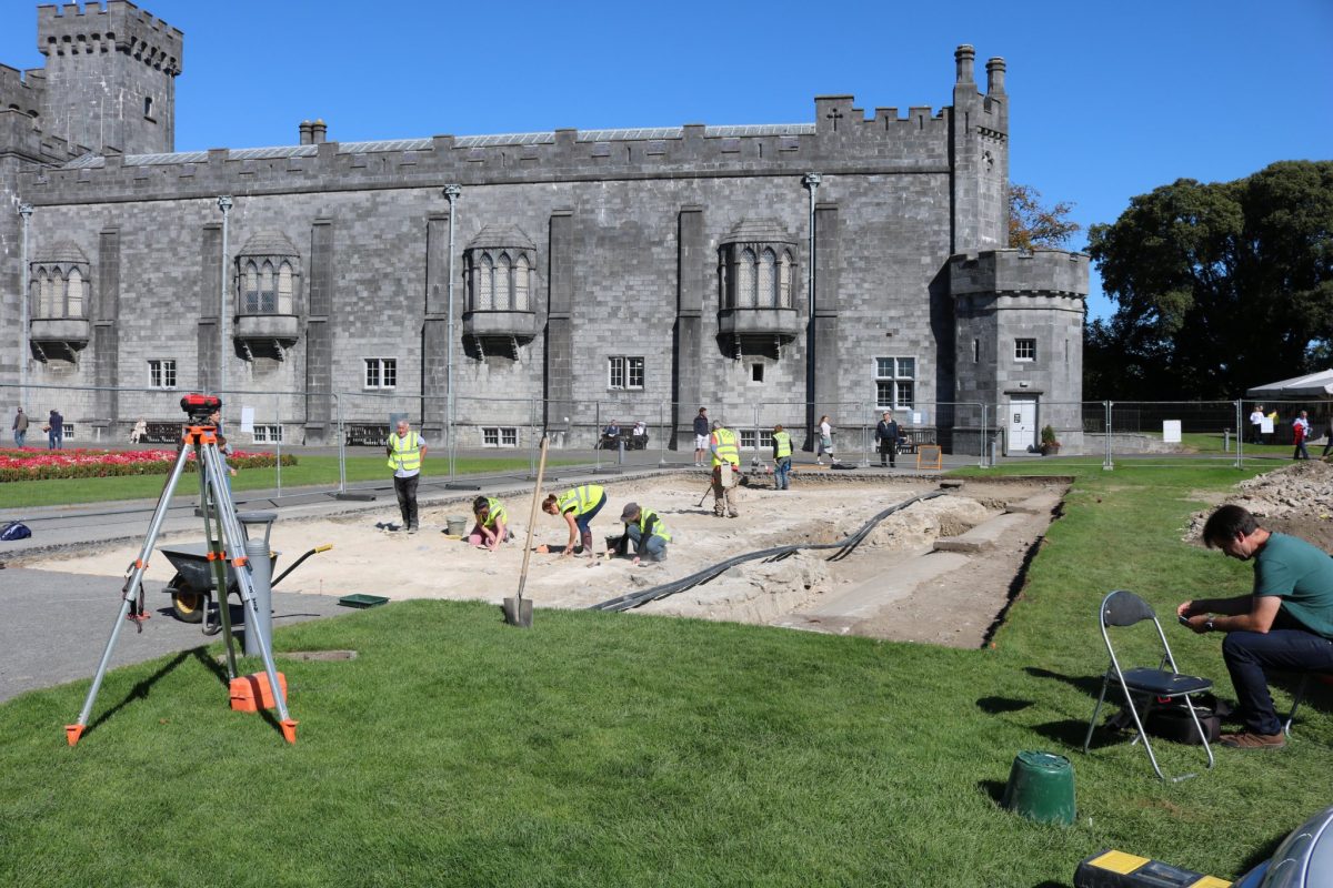 Enclosure in AnnamultEnclosure · 724 yd
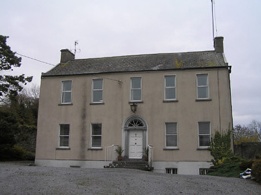 Ennisnag Housemiller's house · 958 yd
 IndicatedEnclosure · 1031 yd
 Coortaur Castle (in ruins)Castle, unclassified · 1547 yd
 Annamult Castle (in ruins)Castle, tower house · 1.2 mi
 Petty Sessions Courthouse 1839Memorial · 1.2 mi
 RIC BarracksMemorial · 1.2 mi
 Welsh'sForest · 1.4 mi
 Cats WoodWood · 1.5 mi
 Ballyda Holy WellSpring · 1.8 mi
 Kells Augustinian PrioryHeritage attraction · 2.4 mi