What is recorded here
Located on the summit of a NW-SE ridge, it is described as a ‘Fort’ but not represented within a rectangular wood on the 1836 and 1912 editions of the OS 6-inch map but the wood has been removed without trace. This is a circular, slightly dished (D 0.4-0.6m) and grass-covered area (diam. 18m N-S; 18m E-W) with some tree-stumps defined by a wide earthen bank (Wth of base 4-8m; int. H 0.4-1.2m; ext. H 0.9m). There is no visible fosse or entrance.
The above description is derived from the published 'Archaeological Inventory of County Meath' (Dublin: Stationery Office, 1987). In certain instances the entries have been revised and updated in the light of recent research.
Compiled by: Michael Moore
Date of revision: 22 February 2019
This remains an important historical record, but the official description says the monument is no longer visible or has been destroyed. The monument record does not grant public access. Check the route and ask the landowner before entering private land.
- What survives
- No visible remains or recorded as destroyed
Places near here
 Enclosure in ShancarnanEnclosure · 226 yd
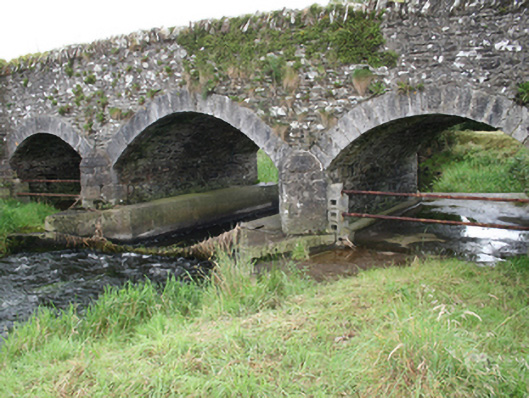 Mullagh Bridgebridge · 1072 yd
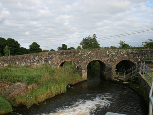 Rosehill Bridgebridge · 1235 yd
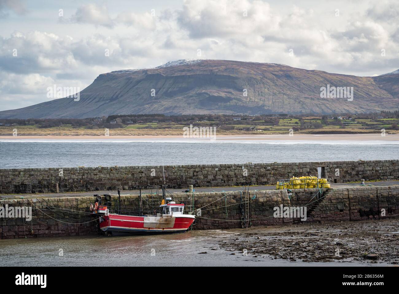 South Mullaghmore WoodWood · 1654 yd
 Quarry WoodForest · 1712 yd
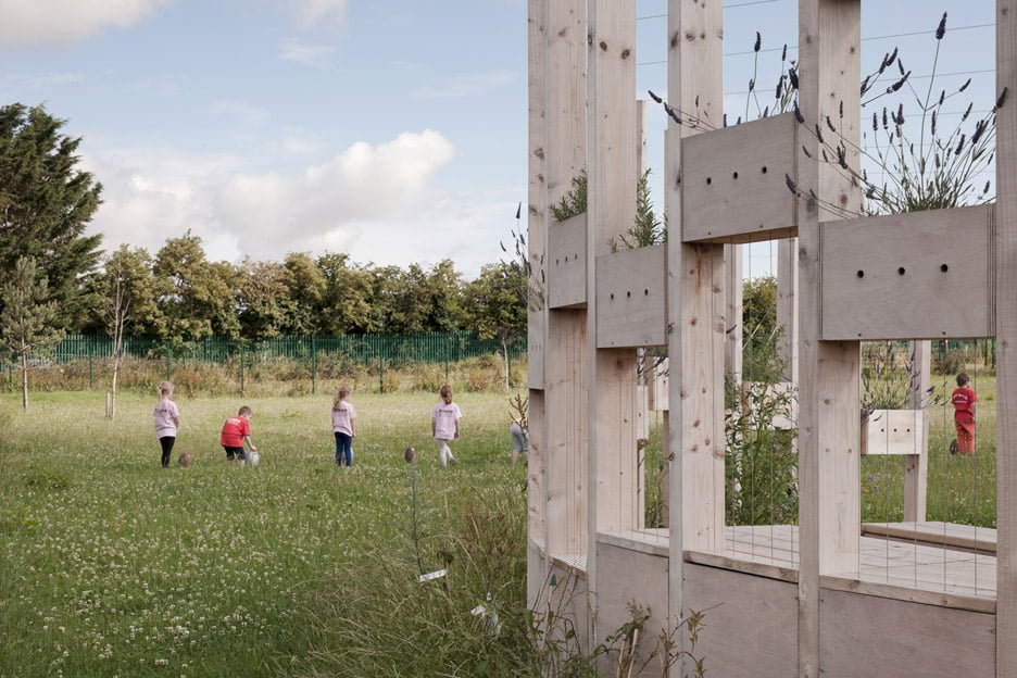 Moynalty Hedge SchoolArchaeological place · 1.2 mi
 Moynalty Steam Threshing MuseumMuseum · 1.2 mi
 Castle (in Ruins)Castle, unclassified · 1.5 mi
 CastleCastle, unclassified · 1.6 mi
 UghtyneillMountain / peak · 2.2 mi
 NewtownMountain / peak · 2.5 mi
 Sally IslandIslet · 2.7 mi