What is recorded here
In pasture, situated on level summit of a prominent knoll, named Sheeanmore Hill, with extensive views in all directions. Knocknarae, crowned by Maeve’s Cairn (MA014-076003-) dominates the view to E, the Ox Mountains define the horizon at S, and the broad sweep of Sligo Bay is visible to N. The monument consists of a flat topped oval mound of earth and stone (dims. 4m N-S; 3.3m E-W; H 0.8m). There is no fosse visible at ground level.
A children's burial ground (SL013-012003-) is located downslope to W, and field banks of a later field system (SL013-012004-) traverse the hill slopes.
Attached images:
SL013-012002-_01.JPG Mound barrow viewed from W
SL013-012002-_02.JPG Mound barrow viewed from E
Compiled by: Mark Keegan
Date of upload: 19 January 2011
Mound barrow, dating to the Early Bronze Age (c. 2000–1500 BCE), associated with ritual or funerary practices. Its location on a prominent hill suggests it was part of a wider ceremonial landscape linked to early Irish megalithic traditions.
The monument record does not grant public access. Check the route and ask the landowner before entering private land.
- What survives
- Recorded monument
Places near here
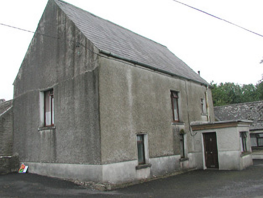 Stand Househouse · 532 yd
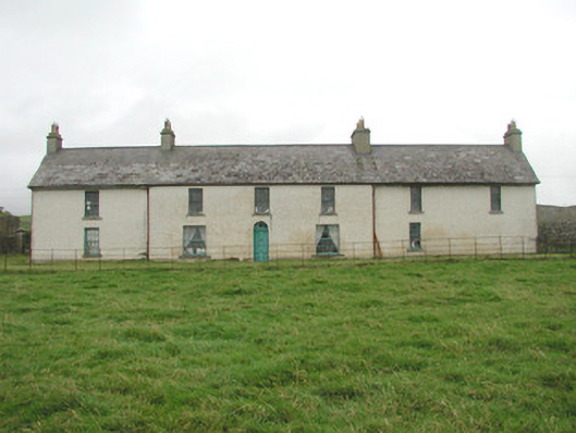 Toberpatrick Lodgehouse · 571 yd
 CastleCastle, Anglo-Norman masonry castle · 677 yd
 Enclosure in ArdabroneEnclosure · 726 yd
 CaveMan-made underground passage · 1342 yd
 Dunmoran StrandBeach / strand · 1.1 mi
 Bawn in CarrowbrickeenBawn · 1.6 mi
 Aughris BeachBeach / strand · 2.0 mi
 Derkmore PointHeadland · 2.0 mi
 Sligo BayBay · 2.8 mi
 Giant's GraveArchaeological place · 3.0 mi
 Lahanacappul IslandIslet · 3.2 mi