What is recorded here
Situated on flat poorly drained land with ring-barrow (WM019-096----) 45m to E. Well preserved flat-topped mound (top diam. 4m; base diam. 8m; H 0.5m) with no evidence of an enclosing fosse or external bank.
Compiled by: Caimin O'Brien
Date of upload: 25 April 2019
Mound barrow, likely dating to the Early Bronze Age. Its preservation offers insight into burial practices and landscape use in a low-lying, poorly drained environment.
The monument record does not grant public access. Check the route and ask the landowner before entering private land.
- What survives
- Recorded monument
Places near here
 Site of CastleCastle, unclassified · 300 yd
 Ecclesiastical enclosure in RathconnellEcclesiastical enclosure · 314 yd
 Church (in Ruins)Church · 317 yd
 Partially hachuredFairy fort / earthen ringfort · 788 yd
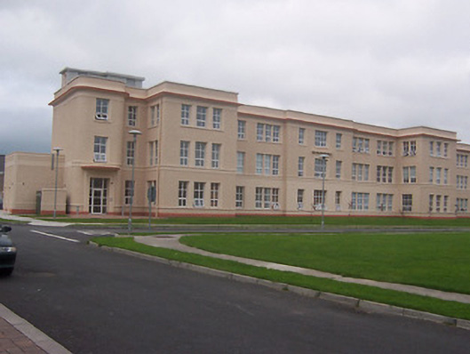 Saint Loman's Hpspitalhospital/infirmary · 1.0 mi
 Augustinian Monks Memorial StatueMemorial · 2.0 mi
 Petits Castle Mote & Mill (Site of)Castle, unclassified · 2.2 mi
 United Nations War MemorialMemorial · 2.2 mi
 Mullingar Cathedral MuseumMuseum · 2.2 mi
 The Chimera GalleryGallery · 2.2 mi
 Long PlantingForest · 2.3 mi
 Saint Brigid's WellSpring · 2.3 mi