What is recorded here
On top of a rise, in undulating rocky pasture and c. 170m NE of a graveyard (SL047-083002-). A low grass-covered circular mound (diam. 6m at base, 2.6m at top; H 0.55m) with a flat top and broadly sloping sides. The mound barrow lies within a field system (SL047-083004-). Another mound (SL047-083006-) occurs c. 400m to SW and a road (SL047-083003-) lies c. 150m to ENE.
The above description is derived from the published 'Archaeological Inventory of County Sligo' compiled by Ursula Egan, Elizabeth Byrne, Mary Sleeman with Sheila Ronan and Connie Murphy (Dublin Stationery Office, 2005).
Revised: P. Walsh
Date of upload: 30 April 2009
Mound barrow, likely dating to the Early Bronze Age. This type of burial monument is significant as it reflects early funerary practices and social structures in the region.
The monument record does not grant public access. Check the route and ask the landowner before entering private land.
- What survives
- Recorded monument
Places near here
 Religious houseReligious house, unclassified · 229 yd
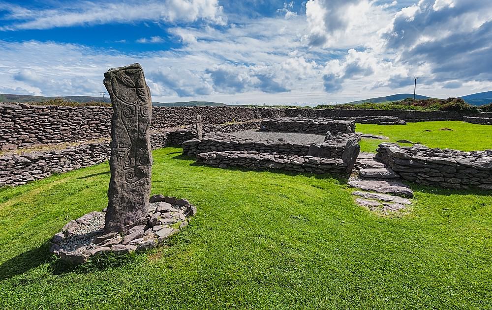 Enclosure in ReaskEnclosure · 352 yd
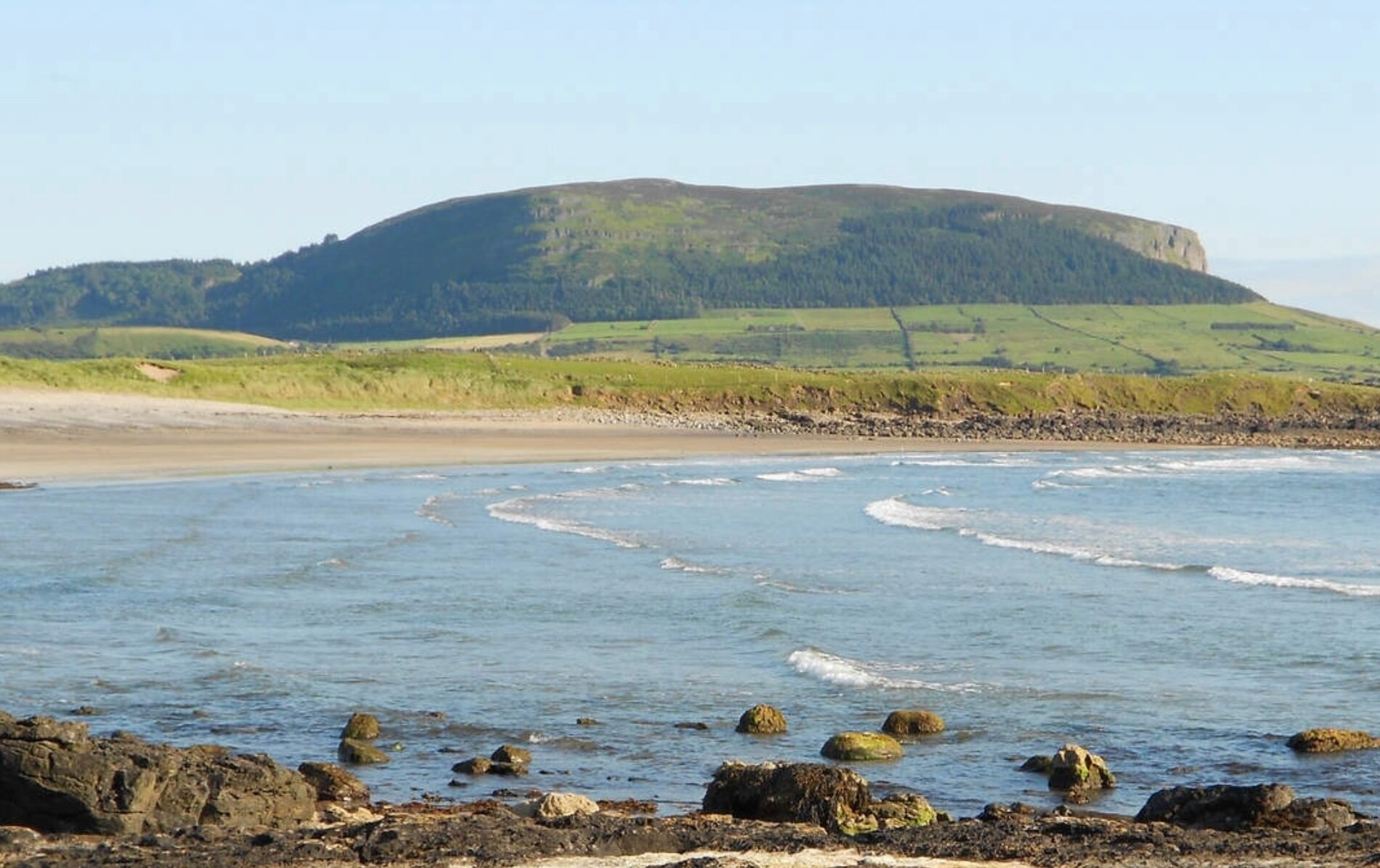 ToberaraghtHoly well · 925 yd
 Boyle NunneryChurch · 2.2 mi
 King William MemorialMonument · 3.3 mi
 Rose PointHeadland · 3.4 mi
 Boyle AbbeyHeritage attraction · 3.5 mi
 Castle (in Ruins)Castle, unclassified · 3.5 mi
 Inch IslandIslet · 3.5 mi
 Castle PointHeadland · 3.6 mi
 Bawn IslandIslet · 3.9 mi
 Square WoodForest · 3.9 mi