What is recorded here
Situated just off the NE side of the spine of a NW-SE spur. A circular feature is visible on vertical aerial photographs (GSIAP: N 738, O 127) from the 1970s. This is a circular, grass-covered mound (diam. 12m N-S; 10.9m E-W; H 1.4m at W to 1.9m at E) with no distinguishing features.
The above description is derived from the published 'Archaeological Inventory of County Meath' (Dublin: Stationery Office, 1987). In certain instances the entries have been revised and updated in the light of recent research.
Compiled by: Michael Moore
Date of upload: 10 July 2007
Amended: 3 August 2022
A Neolithic mound barrow; significant as a rare surviving example of early funerary monument in the region.
The monument record does not grant public access. Check the route and ask the landowner before entering private land.
- What survives
- Recorded monument
Places near here
 Hurcle HillMountain / peak · 1515 yd
 Pedunculate OakPedunculate Oak · 1.0 mi
 Cloghar WoodForest · 1.2 mi
 Irish Military Museum And ParkMuseum · 1.2 mi
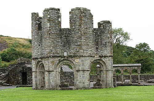 Mellifont AbbeyHeritage attraction · 1.3 mi
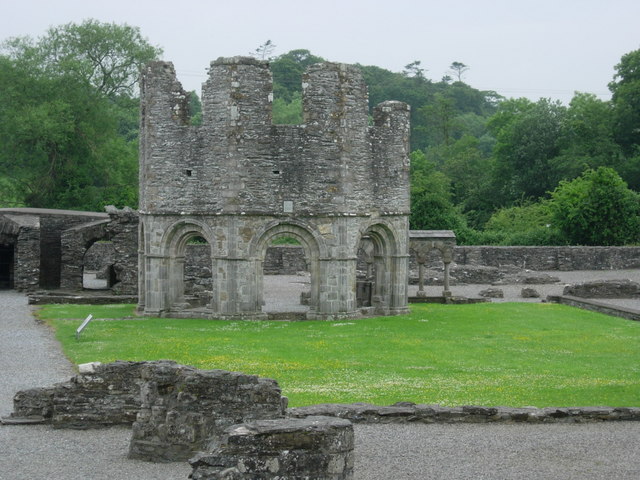 Mellifont Abbey (in Ruins)Religious house, Cistercian monks · 1.3 mi
 St. Bernards ChapelChurch · 1.3 mi
 Settlement cluster in CollonSettlement cluster · 1.8 mi
 Enclosure in SheepgrangeEnclosure · 1.8 mi
 Drummond TowerCastle · 2.1 mi
 Black HillMountain / peak · 2.2 mi
 Site of Old CastleCastle, unclassified · 2.2 mi