What is recorded here
The official Northern Ireland record identifies this as BARROW. Recorded period: PREHISTORIC; BRONZE AGE. Recorded protection: Scheduled. The official map point was placed at the centre of the recorded archaeological site from the source map reference.
Bronze Age barrow; likely a burial mound. Its scheduling indicates recognition of its archaeological importance, though specific details on construction or finds remain unrecorded.
The monument record does not grant public access. Check the route and ask the landowner before entering private land.
- What survives
- Recorded monument
Places near here
 ENCLOSURE in GlebeENCLOSURE · 2.0 mi
 Loughermore ForestForest · 2.0 mi
 LoughermoreMountain / peak · 2.2 mi
 CHURCH in TemplemoyleCHURCH · 2.6 mi
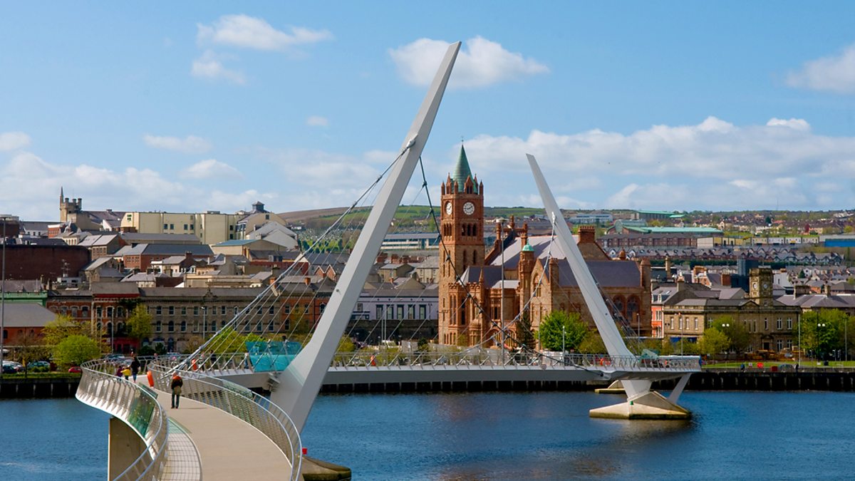 CHURCH (site of): GORTICROSS FIELD in OghillCHURCH (site of): GORTICROSS FIELD · 2.7 mi
 CHURCH GABLE: EGLINTON CHURCH in MuffCHURCH GABLE: EGLINTON CHURCH · 3.1 mi
 The Ness WoodWood · 3.3 mi
 Brackfield BawnCastle · 4.7 mi
 Claudy bombingbomb attack · 5.4 mi
 MULTIPERIOD CHURCH & GRAVEYARD (Early Christain-C18th) in CumberMULTIPERIOD CHURCH & GRAVEYARD (Early Christain-C18th) · 5.8 mi
 Siege of Derry Boom Stone"The Boom Stone" (Traditionally part of 17th century boom across the River Foyle during the Siege of Derry) · 6.7 mi
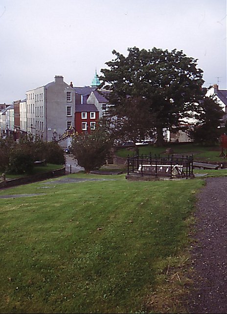 Cathedral viewViewpoint · 7.3 mi