What is recorded here
Situated in level elevated pasture. The site was probably circular originally, one half of which has been removed. Surface remains now comprise a slightly raised D-shaped area (dims. 13.5m N-S; 9m E-W) enclosed by a broad bank of earth (Wth 6.5m-7.4m; int. H 0.3m). No fosse is visible at ground level. From N-E-S the bank is absent and the site is defined by a slight linear N-S scarp (ext. H 0.15m).
Compiled by: Mark Keegan
Date of upload: 19 January 2011
A Neolithic embanked barrow; partially preserved with a D-shaped enclosure. Its significance lies in representing early funerary and ceremonial earthwork traditions in the region.
This remains an important historical record, but the official description says the monument is no longer visible or has been destroyed. The monument record does not grant public access. Check the route and ask the landowner before entering private land.
- What survives
- No visible remains or recorded as destroyed
Places near here
 Enclosure in ToberawnaunEnclosure · 281 yd
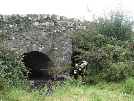 Ardnaglass Bridgebridge · 332 yd
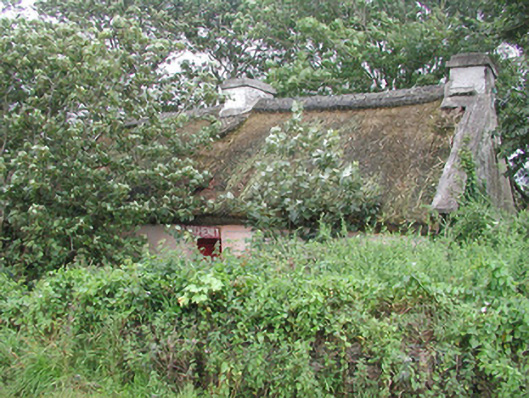 P. Breheneyhouse · 544 yd
 IndicatedFairy fort / earthen ringfort · 709 yd
 CastleCastle, Anglo-Norman masonry castle · 1260 yd
 Dunmoran StrandBeach / strand · 1284 yd
 Aughris BeachBeach / strand · 1.5 mi
 Bawn in CarrowbrickeenBawn · 2.4 mi
 Aughris HeadHeadland · 2.5 mi
 Derkmore PointHeadland · 3.0 mi
 Giant's GraveArchaeological place · 3.4 mi
 Valley WoodForest · 3.5 mi