What is recorded here
In rough/average pasture, straddling the gentle N-facing slope of a rise. The slope dips into a natural depression of wet ground beyond which ground rises again to a low ridge on the top of which a ring-barrow (MA092-006----) is visible c. 250m to NNW. There is a farmstead 30m to SSW.
A slightly raised, circular area (9m NE–SW; 8.5m NW–SE) defined by a bank (Wth 2.7m, int. H 0.55m; ext. H 0.35-0.4m at SW, 0.55m at NE) of earth and stone. The bank is most substantial on the E arc –it may have been incorporated into a now levelled field fence on this side. At W–NW it has a broad external slump. The interior slopes down gently to NE. Grass cover, with a clump of brambles in the centre, and hawthorn bushes on the perimeter. There is a mound (MA091-109----) 220m to E.
Compiled by: Jane O’Shaughnessy
Date of upload: 17 February 2022
Embanked barrow, likely dating to the Early Bronze Age. Its location in relation to a ring-barrow suggests ritual or funerary significance within a broader burial landscape.
The monument record does not grant public access. Check the route and ask the landowner before entering private land.
- What survives
- Recorded monument
Places near here
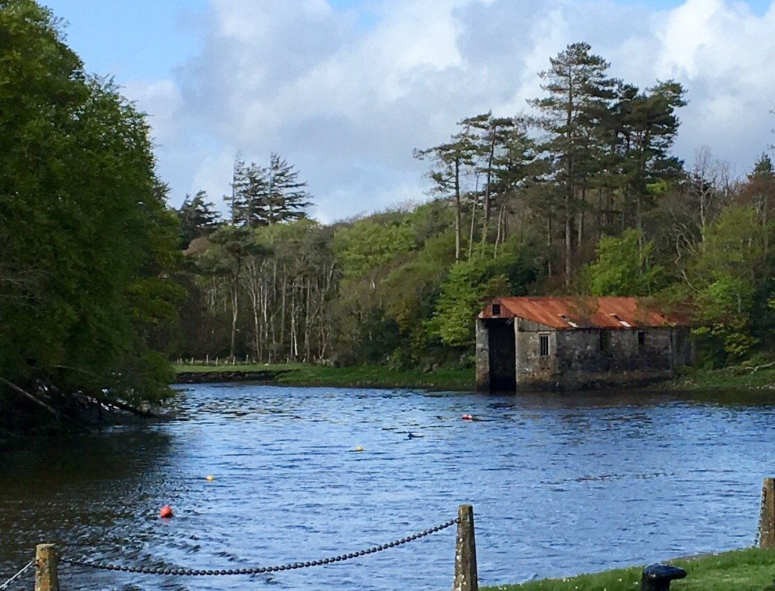 IndicatedFairy fort / earthen ringfort · 1033 yd
 CastleCastle, unclassified · 1.3 mi
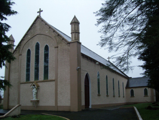 Saint Anne's Catholic Churchchurch/chapel · 1.3 mi
 Promontory fortPromontory fort, inland · 1.3 mi
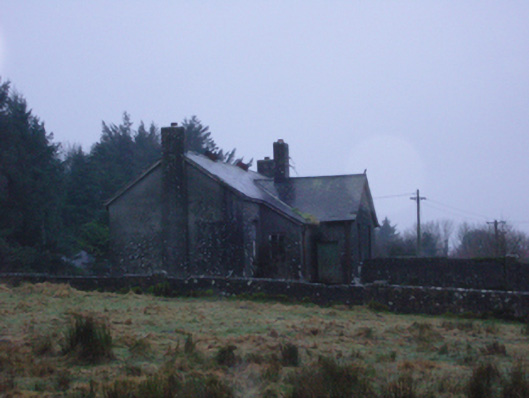 Shanvaghera National Schoolschool · 1.3 mi
 Knock MuseumMuseum · 2.5 mi
 Knock ShrineHeritage attraction · 2.5 mi
 Rath Castle in ruinsCastle, tower house · 2.9 mi
 East Mayo Brigade MonumentMemorial · 3.6 mi
 I'll Send You The FareMemorial · 6.2 mi
 Oak WoodForest · 9.5 mi
 Geoffrey's WoodForest · 10 mi