What is recorded here
At a place called Abbots Hill on a NE-facing slope overlooking a NW-SE valley. Circular grass and furze-covered area (int. diam. 8.8m NW-SE) defined by a grass-covered earthen bank (Wth 2.8-3m; int. H 0.25-0.65m; ext. H 0.5-0.95m) with an entrance (Wth 1.7m) at WSW. An internal bank (Wth 2.7m; H 0.4-0.6m) running ENE-WSW, perhaps the result of quarrying, cuts off a chord at S.
Compiled by: Michael Moore
Date of upload: 24 August 2010
A Neolithic embanked barrow; its location on a prominent slope suggests it may have had ritual or ceremonial significance in the landscape.
The monument record does not grant public access. Check the route and ask the landowner before entering private land.
- What survives
- Recorded monument
Places near here
 Embanked enclosureFairy fort / earthen ringfort · 1625 yd
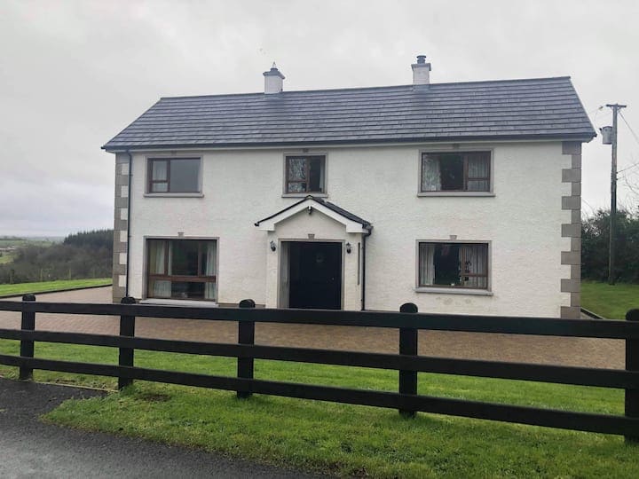 Enclosure in Ballagh (athlone North By.)Enclosure · 1706 yd
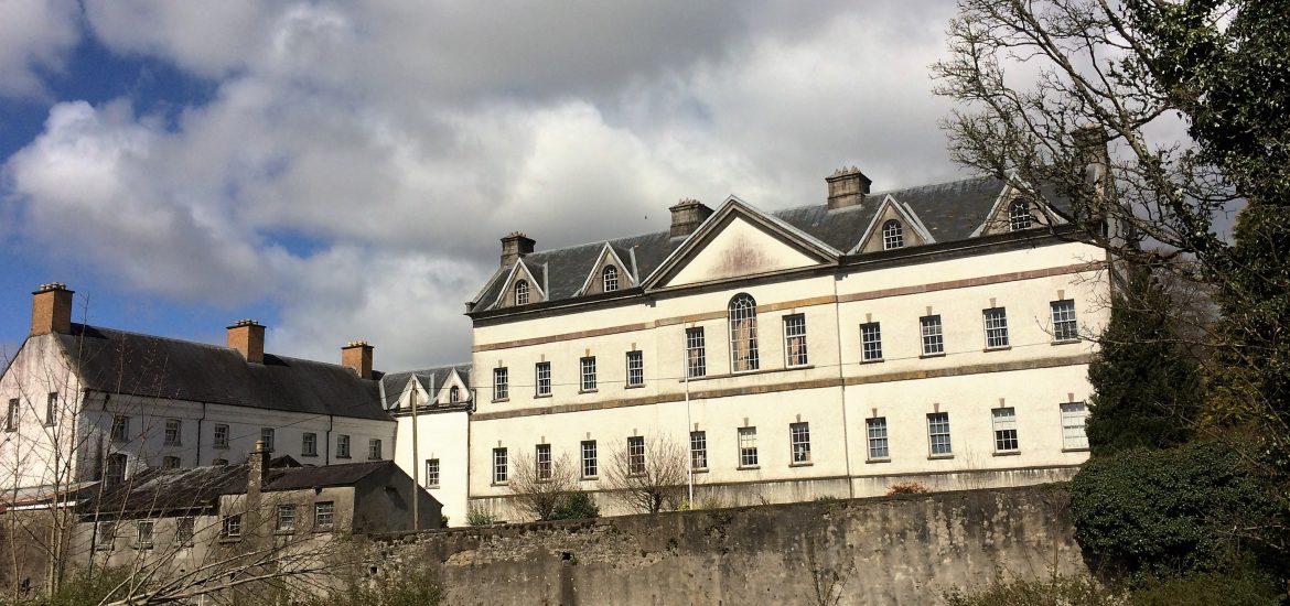 IndicatedCastle, unclassified · 1.2 mi
 CastleCastle, tower house · 1.2 mi
 Scregg Housecountry house · 1.2 mi
 InchmoreIslet · 1.5 mi
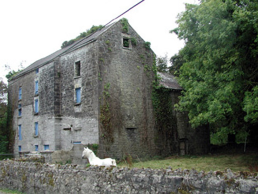 Lecarrow Millmill (water) · 1.6 mi
 InchihicleleyIslet · 1.9 mi
 Hangman's HillMountain / peak · 2.9 mi
 Blackbrink BayBay · 2.9 mi
 Galey BayBay · 3.1 mi
 St. John's WoodWood · 3.6 mi