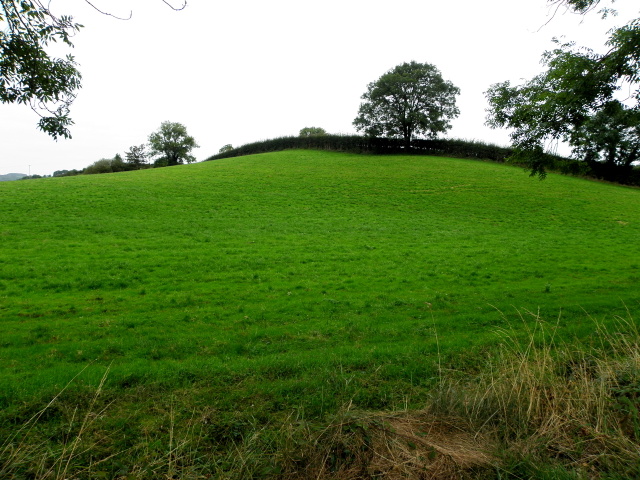
What is recorded here
Knockroe hill holds a hidden ditch barrow on its east slope, nestled between an enclosure and earthwork yet absent from historic maps. The buried mound surfaces only through cropmarks and aerial shadows, suggesting human hands shaped the ground before forgetting or farming erased the visible edge.
On high ground on E slope of prominent hill in Knockroe townland. Enclosure (LI033-152----) lies 275m to S and earthwork (LI024-069----) 300m to N. Not depicted on historic OSi maps. Monument visible as an oval-shaped depression on aerial photograph (ASIAP (353) 1) taken 05/01/2003. Visible as a faint cropmark immediately N of a linear field ditch running NE-SW on OSi orthophoto taken between 2005-12. Visible as a circular depression immediately S of linear field ditch running NE-SW on Google Earth orthoimage dated 18/11/2018. No surface remains visible on Google Earth orthoimage dated 20/09/2020.
See attached aerial photograph (ASIAP (353) 1, 2, 3, 4) and Google Earth orthoimages.
Compiled by: Martin Fitzpatrick
Date of upload: 20 April 2021
The monument record does not grant public access. Check the route and ask the landowner before entering private land.
- What survives
- Recorded monument
Places near here
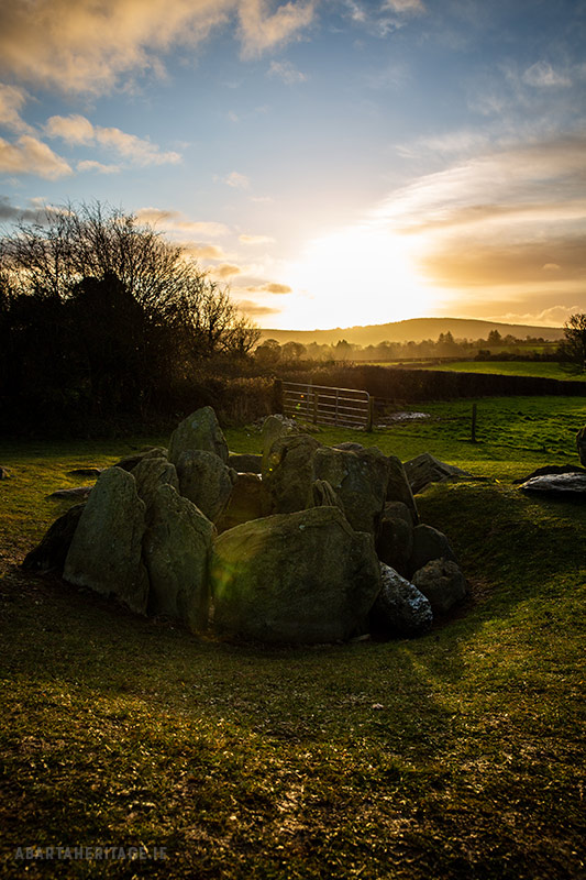 Enclosure in Knockroe (coonagh By.)Enclosure · 431 yd
 Enclosure in KnockderkEnclosure · 916 yd
 Carrickittle RockCastle, unclassified · 1.0 mi
 St. Patrick's WellSpring · 1.2 mi
 (Site of) CastleCastle, unclassified · 1.2 mi
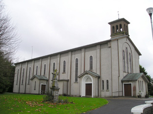 Catholic Church of Saint Patrick and Saint Brigidchurch/chapel · 1.3 mi
 R.C. ChapelChurch · 1.3 mi
 Kilteely HillMountain / peak · 1.5 mi
 KnockseefinMountain / peak · 2.2 mi
 Flat cemetery in Knockainy WestFlat cemetery · 5.3 mi
 St Patrick's WellSpring · 7.1 mi
 Ballinvreena LoopVisitor information · 10.0 mi
Other information
Photo: Credit not shown in the picture search · Rights wording not checked; contact us if this picture should be removed