What is recorded here
Cropmark of ring-ditch (approx. diam. 15m) visible on Google earth aerial imagery. Cropmark of a second possible ditch-barrow (KD032-071----) 120m to WNW.
See attached image taken from Google Earth aerial photographs taken 28/06/2018.
Compiled by: Caimin O'Brien based on details kindly provided by Faith Bailey.
Date of upload: 20 November 2018
Ditch barrow, likely dating to the Early Bronze Age. Its significance lies in its association with early burial practices and possible links to a broader ceremonial landscape indicated by nearby cropmarks.
The monument record does not grant public access. Check the route and ask the landowner before entering private land.
- What survives
- Recorded monument
Places near here
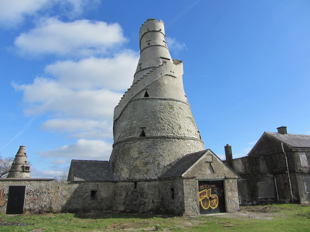 Enclosure in AnnaloughEnclosure · 915 yd
 IndicatedFairy fort / earthen ringfort · 1175 yd
 CrookanurnWood · 1393 yd
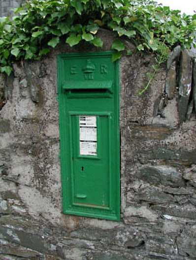 post boxpost box · 1444 yd
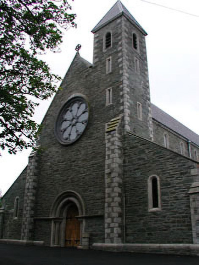 Catholic Church of Saint Mary and Saint Laurencechurch/chapel · 1478 yd
 Narraghmore Nature ReserveForest · 1649 yd
 Colbinstown Castle (in Ruins)Castle, unclassified · 2.0 mi
 Blackhall CastleCastle, tower house · 2.3 mi
 Battle of Kilrushbattle · 3.3 mi
 Burtown House and GardensHeritage attraction · 3.8 mi
 Gorden Bennet Race memorialMemorial · 4.8 mi
 History of Moat of ArdscullVisitor information · 4.8 mi