What is recorded here
Barrow is a ditch barrow in County Limerick, Ireland, hidden in pasture near Ballynamona rather than recorded on standard maps. Ó Ríordáin excavated it in 1936 and found almost nothing except a small iron fragment that may be modern. The emptiness does not weaken the place; it removes false certainty and leaves the barrow standing as an unfinished human act, still shaping the field and imagination.
In pasture, 70m S of townland boundary with Ballynamona. Not marked on OSi 6-inch maps. Listed as 'Site b' and excavated by Ó Ríordáin (1936, 182-183) which was one of ‘eight barrows (in Duntryleague townland, “b” on map), seven of which are on a raised platform (diam. c. 24m) of the type of some of the smaller raised ring-forts found in Co. Limerick. Except one small fragment of iron which may be modern, no finds were made.’ Excavated monument visible as a group of circular cropmarks on a raised area with a circular cropmark (diam. c. 20m) in SE corner of field on Digital Globe orthoimage taken between 2011-2013. Cropmarks visible on Google Earth orthoimages.
See attached plans from Ó Ríordáin (1936, 182-183) and Google Earth orthoimages.
Compiled by: Fiona Rooney
Date of upload: 27 September
Ditch barrow, likely dating to the Early Bronze Age. Excavated by Ó Ríordáin, it is part of a cluster of barrows in Duntryleague, indicating a significant burial landscape in the area.
The monument record does not grant public access. Check the route and ask the landowner before entering private land.
- What survives
- Recorded monument
Places near here
 Field system in DuntryleagueField system · 595 yd
 BarrowBarrow, ditch barrow · 1051 yd
 Partially hachuredQuarry · 1188 yd
 Duntryleague - hachuredCastle, ringwork · 1196 yd
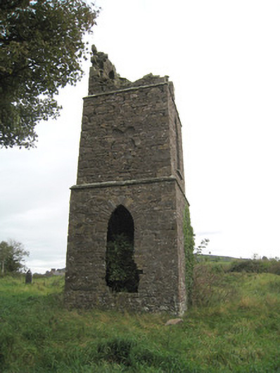 Duntryleague Church (Galbally)church/chapel · 1212 yd
 Ryves CastleCastle, unclassified · 1.1 mi
 Darby's Bed Walk LoopWalking route · 1.1 mi
 Duntryleague HillMountain / peak · 1.2 mi
 Saint Patrick's WellSpring · 1.5 mi
 Carn (site of)Cairn, burial cairn · 1.7 mi
 St Patrick's WellSpring · 2.7 mi
 SlievereaghMountain / peak · 3.3 mi