What is recorded here
On a shelf on a S-facing slope, in rough pasture, overlooking a valley. A circular ring-barrow defined by a slightly domed central platform (18.7m E-W; 18.5m N-S; H 0.1-0.3m; max. est. H 0.6m), an intervening fosse (Wth 1.2-1.6m) that is overgrown with rushes and an outer bank (Wth 3-3.5m, int. H 0.1-0.3m, ext. H 0.05-0.1m). Drains cut across the bank at SSE and WNW, and a field wall adjoins it at ENE. The monument is clearly visible on OSi Ortho_ITM (2005) aerial imagery.
Compiled by: Olive Alcock and Lynda McCormack
Date of upload: 5 August 2022
A Neolithic ring-barrow, c. 2500–2000 BCE, characterised by a central platform and surrounding fosse. Such monuments are significant as early funerary and ceremonial structures, reflecting communal organisation and ritual practices in Neolithic Ireland.
The monument record does not grant public access. Check the route and ask the landowner before entering private land.
- What survives
- Recorded monument
Places near here
 Enclosure in KilcarraghEnclosure · 279 yd
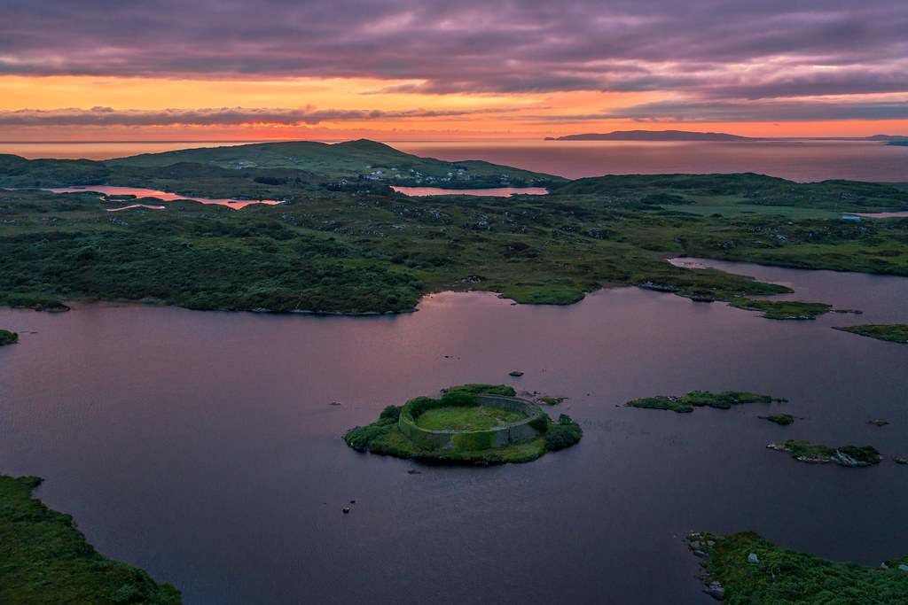 Doon FortHilltop enclosure · 550 yd
 CastleCastle, unclassified · 1.2 mi
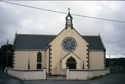 Saint Fachanan's Catholic Churchchurch/chapel · 1.2 mi
 CashlaunawoggaCastle, tower house · 1.2 mi
 Burren Centre KilfenoraVisitor information · 1.3 mi
 Saint Fachtnan's Cathedralcathedral · 1.3 mi
 High CrossHeritage attraction · 1.3 mi
 Ballyteigue Nature ReserveNature reserve · 3.8 mi
 Kilmanahn GraveyardRuins · 4.1 mi
 Famine MemorialMemorial · 4.2 mi
 Fergus River CaveCave · 4.9 mi