What is recorded here
On a slight rise in reclaimed pasture 900m SE of the summit of Derk Hill (OD 781 ft.) and 100m N of townland boundary with Tonaree. Fields enclosed by drainage ditches associated with estate belonging to Derk House located 800m to NE. One of a cluster of 14 barrows (LI033-036001/009; LI033-090/91-; LI033-121/122----; LI033-154----) concentrated in the S half of Derk townland with the closest barrow (LI033-154----) 40m to N. Not depicted on any OSi maps. Surveyed by the ASI in 2007 and described as a circular-shaped area (dims. 6m N-S; 4.7m E-W) defined by a shallow fosse (Wth 3.5m; D 0.15m). Faint outline of monument visible as a cropmark on OSi orthophotos taken between 2005-2012 and on Google Earth orthoimage dated 18/11/2018.
See attached Google Earth orthoimages
Compiled by: Martin Fitzpatrick
Date of upload: 22 March 2021
Ditch barrow, likely dating to the Early Bronze Age. Its association with a historic estate suggests possible elite or ceremonial significance within a local landscape of agricultural and social organization.
The monument record does not grant public access. Check the route and ask the landowner before entering private land.
- What survives
- Recorded monument
Places near here
 Field system in DerkField system · 289 yd
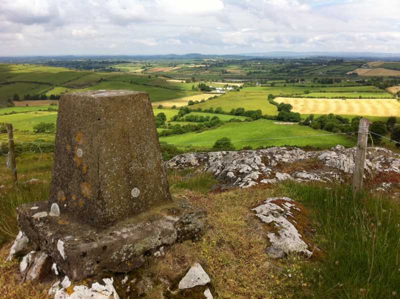 Enclosure in DerkEnclosure · 352 yd
 Templebredon Church (in ruins)Church · 934 yd
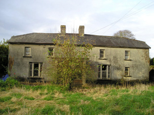 Derk Cottagehouse · 939 yd
 Site of Ballyneety CastleCastle, unclassified · 1685 yd
 (Site of) CastleCastle, unclassified · 1.4 mi
 St. Patrick's WellSpring · 2.4 mi
 Kilteely HillMountain / peak · 2.5 mi
 KnockseefinMountain / peak · 2.8 mi
 Flat cemetery in Knockainy WestFlat cemetery · 5.9 mi
 St Patrick's WellSpring · 7.0 mi
 Ballinvreena LoopVisitor information · 10.0 mi