What is recorded here
On a narrow, level terrace at the E foot of a short, gentle slope. Two large ring barrows lie 70m to the NW (KD022-043----) and c. 170m to the W (KD022-042----); seven barrows (KD022-044----, KD022-080---- to KD022-083---- and KD022-085---- and KD022-086----) lie in an arc W-NNE, less than 250m away, while a second group of six barrows (KD022-087---- and KD023-077---- to KD023-081----) lie between 200m and 400m to the SE. Visible on an aerial photograph (DoD 1999). A very slightly raised, sub circular area (diams. 9.3m N-S; 8.9m E-W; H 0.3m) is defined by a narrow, shallow fosse (Wth 0.6-1.0m; D 0.15m) WSW-SE, and elsewhere by a low scarp (H 0.5m).
Compiled by: Gearóid Conroy
Date of upload: 10 June 2011
A ditch barrow, likely dating to the Early Bronze Age; part of a dense barrow cemetery, indicating significant ritual or funerary activity in the Curragh area during the prehistoric period.
The monument record does not grant public access. Check the route and ask the landowner before entering private land.
- What survives
- Recorded monument
Places near here
 RatheenanairyArchaeological place · 217 yd
 Enclosure in Curragh (kildare Ed)Enclosure · 284 yd
 Pollardstown Fen Nature ReserveNature reserve · 1.5 mi
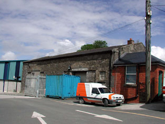 Kildare Railway Stationstore/warehouse · 1.6 mi
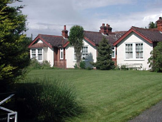 Munster Lodgeofficer's house · 1.6 mi
 Castle in ruinsCastle, Anglo-Norman masonry castle · 1.8 mi
 CastleCastle, motte · 1.8 mi
 Saint Fiachra's GardenHeritage attraction · 2.2 mi
 Bee-bee treeBee-bee tree · 2.2 mi
 Horse MuseumMuseum · 2.3 mi
 Bithia Mary CrokerMemorial · 5.9 mi
 Grand Canal WayVisitor information · 7.0 mi