What is recorded here
At the N edge of the broad ridge running across the Little Curragh. Visible on an aerial photograph (DoD 1999). A small, low circular mound (diam. 4.8m; H 0.2m) covered in parched vegetation cover is girdled by vegetation band (Wth 2.2m) of lusher growth, which suggests the presence of a back-filled fosse.
Compiled by: Gearóid Conroy
Date of upload: 10 June 2011
A Neolithic ditch barrow, dating to the 4th to 3rd millennium BCE. It represents an early form of burial monument, significant for understanding prehistoric funerary practices and landscape use in the Curragh region.
The monument record does not grant public access. Check the route and ask the landowner before entering private land.
- What survives
- Recorded monument
Places near here
 RatheenanairyArchaeological place · 191 yd
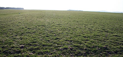 The CurraghEarthwork · 340 yd
 Religious houseReligious house, unclassified · 1.3 mi
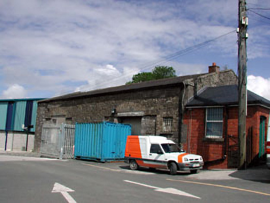 Kildare Railway Stationstore/warehouse · 1.4 mi
 Pollardstown Fen Nature ReserveNature reserve · 1.6 mi
 Castle in ruinsCastle, Anglo-Norman masonry castle · 1.7 mi
 CastleCastle, motte · 1.7 mi
 Saint Fiachra's GardenHeritage attraction · 2.1 mi
 Bee-bee treeBee-bee tree · 2.2 mi
 Horse MuseumMuseum · 2.3 mi
 Bithia Mary CrokerMemorial · 5.7 mi
 Grand Canal WayVisitor information · 7.0 mi