What is recorded here
In reclaimed pasture 90m N of a watercourse. Earthwork (LI040-029----) lies 90m to W. Not depicted on OSi historic maps. Identified by Bruff aerial photographic survey in 1986 (Bruff 68; AP 5/2076) as a possible barrow. Visible as a circular-shaped area (diam. c. 7m) defined by a fosse on OSi orthophotos 2005-2012. Outline of possible ditch-barrow visible on Google Earth orthoimages, where it lies immediately N of a drainage ditch running NE-SW.
See attached Bruff image with earthwork labelled 68 and Google Earth orthoimages.
Compiled by: Martin Fitzpatrick
Date of upload: 28 June 2021
A possible Bronze Age ditch barrow; its significance lies in its identification through aerial photography, contributing to the understanding of prehistoric burial practices in the region.
The monument record does not grant public access. Check the route and ask the landowner before entering private land.
- What survives
- Recorded monument
Places near here
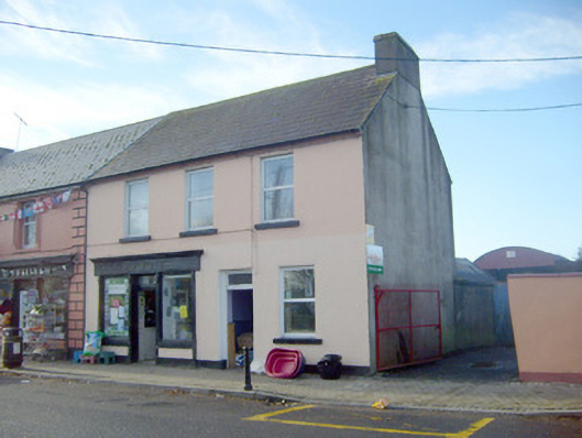 Joneshouse · 580 yd
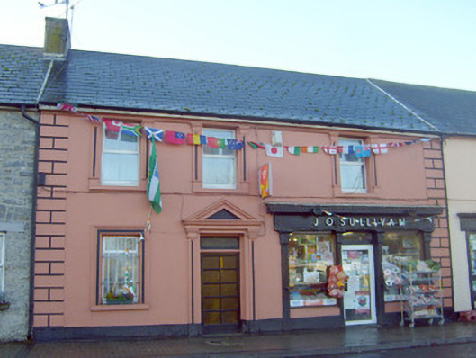 J. O'Sullivanhouse · 581 yd
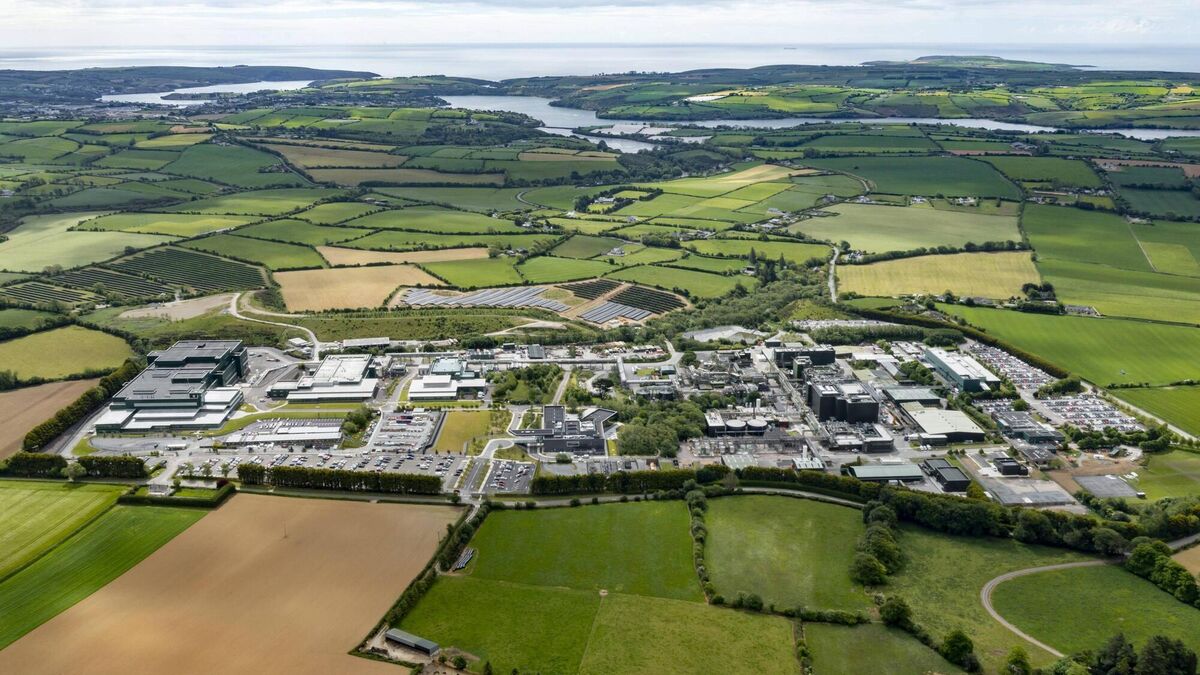 Settlement cluster in BarrysfarmSettlement cluster · 719 yd
 Not shownExcavation, miscellaneous · 720 yd
 Flat cemetery in Knockainy WestFlat cemetery · 1170 yd
 Desmond Castle (in ruins)Castle, unclassified · 1.1 mi
 Knockainy Castle (in ruins)Castle, tower house · 1.2 mi
 KnockainyMountain / peak · 1.6 mi
 St Patrick's WellSpring · 3.3 mi
 Kilteely HillMountain / peak · 3.7 mi
 St. Patrick's WellSpring · 4.1 mi
 Ballinvreena LoopVisitor information · 5.6 mi