What is recorded here
In improved pasture 35m W of townland boundary with Ballyneety South, an enclosure (LI033-106----) lies 272m to the NW. Not depicted on historic OSi maps. Identified by Bruff aerial photographic survey in 1986 (Bruff 100; AP 4/3618) as circular cropmark. Visible as a circular cropmark (diam. c. 7m) on OSi orthophoto taken between 2005-12 and on Google Earth orthoimages.
See attached Google Earth orthoimages and Bruff image labelled 10
Compiled by: Fiona Rooney
Date of upload: 26 April 2021
A ditch barrow, likely dating to the Early Bronze Age. Its survival in improved pasture highlights the importance of aerial survey in identifying such features.
The monument record does not grant public access. Check the route and ask the landowner before entering private land.
- What survives
- Recorded monument
Places near here
 Enclosure in Ballyneety SouthEnclosure · 308 yd
 BarrowBarrow, ditch barrow · 603 yd
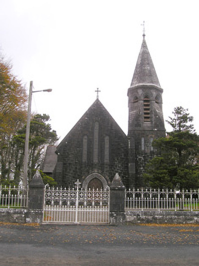 Saint Brigid's Catholic Churchchurch/chapel · 736 yd
 Site of Ballyneety CastleCastle, unclassified · 757 yd
 RathardCastle, ringwork · 1428 yd
 Templebredon Church (in ruins)Church · 1486 yd
 Oola HillMountain / peak · 3.2 mi
 Kilteely HillMountain / peak · 3.5 mi
 St. Patrick's WellSpring · 3.5 mi
 Flat cemetery in Knockainy WestFlat cemetery · 6.2 mi
 St Patrick's WellSpring · 6.6 mi
 Ballinvreena LoopVisitor information · 9.6 mi