What is recorded here
Cropmark of possible ditch-barrow (diam. c. 8m) visible on Google Earth photograph taken 25/03/2017.
See attached Google Earth orthoimages
Compiled by: Caimin O'Brien based on details provided by Jean-Charles Caillère
Date of upload: 10 January 2022
Ditch barrow, likely dating to the Early Bronze Age. Its presence indicates prehistoric funerary practices in the Baggotstown East area, though its exact significance remains unclear due to lack of physical remains or detailed excavation.
The monument record does not grant public access. Check the route and ask the landowner before entering private land.
- What survives
- Recorded monument
Places near here
 BarrowBarrow, ditch barrow · 158 yd
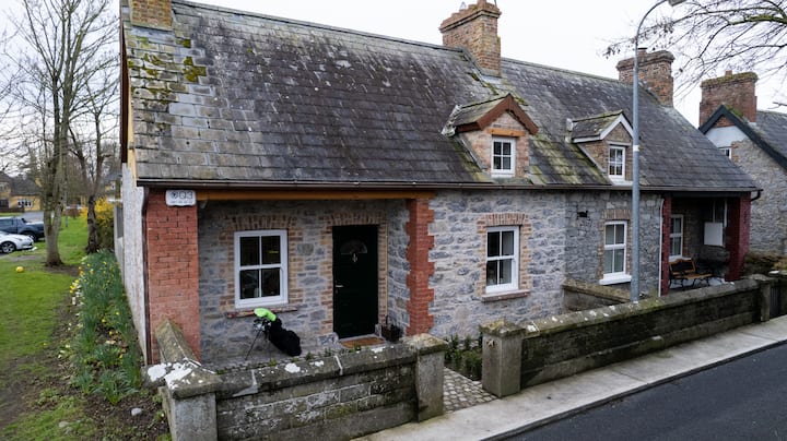 Enclosure in BaggotstownEnclosure · 430 yd
 KnockainyMountain / peak · 1201 yd
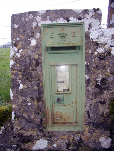 post boxpost box · 1234 yd
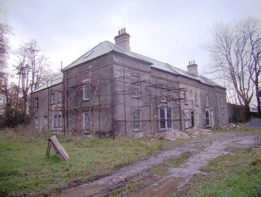 Baggotstown Housecountry house · 1273 yd
 Knockainy Castle (in ruins)Castle, tower house · 1357 yd
 Desmond Castle (in ruins)Castle, unclassified · 1614 yd
 Flat cemetery in Knockainy WestFlat cemetery · 1.3 mi
 Glen BogForest · 1.6 mi
 St Patrick's WellSpring · 4.5 mi
 Kilteely HillMountain / peak · 4.9 mi
 St. Patrick's WellSpring · 5.3 mi