What is recorded here
Situated on a low rise of ground with good views in all directions. Depicted as ‘Moat of Ballynagle’ on 1837 OS Fair Plan map (SMR File). A laneway running N-S cuts across the W side of the mound as depicted on the 1837 ed. OS six-inch map. Poorly preserved circular-shaped flat-topped mound (top diam. 4.5m; overall diam. c. 17m; H 2-2.5m) of earth and stones with partial remains of a shallow fosse visible. A short stretch of the fosse on the SE side appear to be a modern feature. The mound is poorly preserved due to quarrying activity especially on the W side where the top of the mound has been quarried into (SMR file 10/07/1978).
See profile of barrow that was surveyed and drawn by the ASI
Compiled by: Caimin O’Brien
Date of upload: 20 July 2015
Bowl barrow, likely dating to the Early Bronze Age. Its location on an elevated site suggests it was chosen for visibility and ceremonial significance.
The monument record does not grant public access. Check the route and ask the landowner before entering private land.
- What survives
- Recorded monument
Places near here
 Ladywell Parkgate lodge · 403 yd
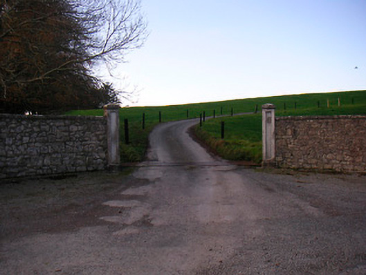 Lough Ree Lodgedemesne walls/gates/railings · 676 yd
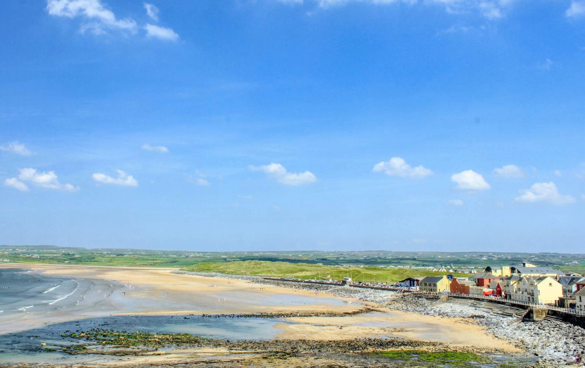 OutlinedFairy fort / earthen ringfort · 739 yd
 Lady WellHoly well · 1015 yd
 Killinure BayBay · 1155 yd
 Bunown CastleCastle · 1184 yd
 Traveen BayBay · 1547 yd
 Temple's IslandIslet · 1.3 mi
 Ballynakill CastleCastle · 1.3 mi
 Portlick Millennium ForestWood · 1.4 mi
 HareislandIslet · 1.8 mi