What is recorded here
In pasture, on top of a ridge. A circular mound (diam. at base 11m; H 1.8m) with a flat top (diam. 2.5m). A surrounding fosse (Wth 4m; D 0.2m) is evident along the W arc. A triangulation spot height is indicated here on the 1838 OS 6-inch map. A levelled barrow (SL032-220----) is c. 50m to ESE, a mound barrow (SL032-224----) c. 500m to NNE and another (SL032-072----) c. 200m to S, all on the same ridge.
The above description is derived from the published 'Archaeological Inventory of County Sligo' compiled by Ursula Egan, Elizabeth Byrne, Mary Sleeman with Sheila Ronan and Connie Murphy (Dublin Stationery Office, 2005).
Date of upload: 18 January 2008
Bowl barrow, likely dating to the Early Bronze Age. It represents a common form of burial monument in the British Isles, reflecting early ceremonial and funerary practices.
The monument record does not grant public access. Check the route and ask the landowner before entering private land.
- What survives
- Recorded monument
Places near here
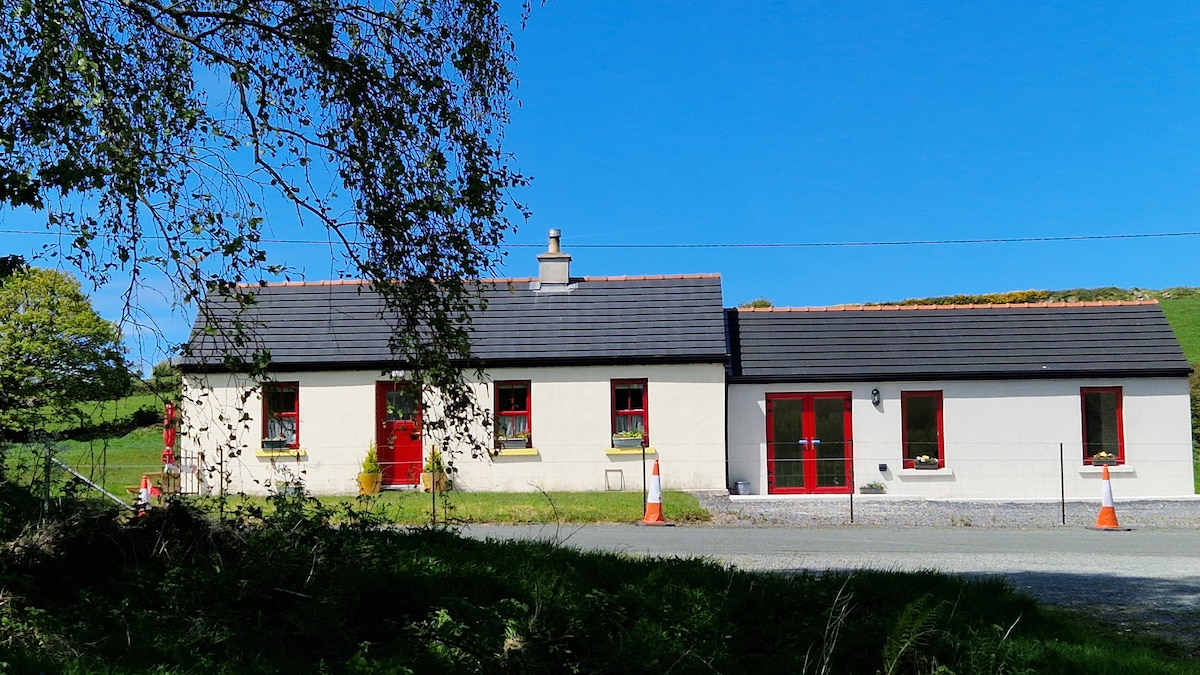 Hut site in CarnyaraHut site · 618 yd
 IndicatedChurch · 772 yd
 CaveMan-made underground passage · 795 yd
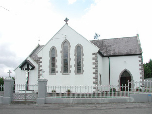 Catholic Church of the Sacred Heartchurch/chapel · 1219 yd
 Muckelty HillMountain / peak · 1.2 mi
 KnocknasheeMountain / peak · 1.7 mi
 CastleCastle, unclassified · 1.8 mi
 Ballyara Castle (in Ruins)Castle, unclassified · 4.1 mi
 European ashEuropean ash · 4.4 mi
 ElderElder · 4.6 mi
 The Turf Stack RockNamed rock · 5.1 mi
 Old Cave Burial GroundArchaeological place · 7.5 mi