What is recorded here
Prominently sited at the W end of a steep-sided E-W pasture ridge, around the S and W of which the River Liffey flows. A fairly well-preserved raised central, circular, earthen area (base diams. 10.1m N-S; 9m E-W; summit diams. 2.4m N-S; 2.2m E-W is girdled by a broad, level area (Wth 8.1-10m) which is in turn enclosed by a low earthen bank (int. H 0.1-0.9m; Wth 3.4-5.1m; ext H0.5-1.4m). An outer fosse, traceable WSW-N-ESE may be the result of later landscaping. Mature beech trees grow on the bank along the N perimeter, and one grows on the central mound. A second, possible barrow (KD029-012----) lies c.220 m to the N.
Compiled by: Gearóid Conroy
Date of upload: 04 September 2013
Bowl barrow, likely dating to the Early Bronze Age. Its prominent location suggests ritual or ceremonial significance, possibly as a burial monument for an individual of status.
The monument record does not grant public access. Check the route and ask the landowner before entering private land.
- What survives
- Recorded monument
Places near here
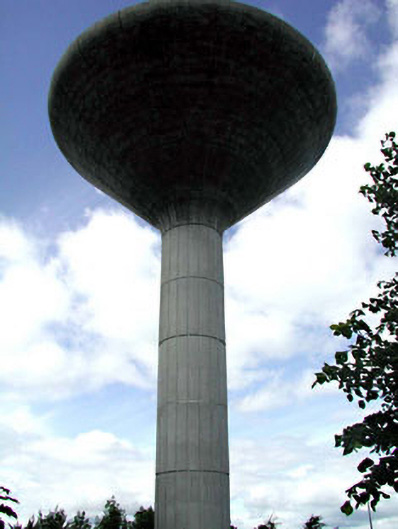 Liffey Workswater tower · 552 yd
 IndicatedFairy fort / earthen ringfort · 644 yd
 Enclosure in Ballymore Eustace WestEnclosure · 737 yd
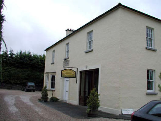 Ballymore Eustace National Schoolschool · 791 yd
 English hollyEnglish holly · 1637 yd
 National Bird of Prey CentreHeritage attraction · 1.9 mi
 Artisans WorkshopsHeritage attraction · 1.9 mi
 Castle in ruinsCastle, unclassified · 2.2 mi
 European YewEuropean Yew · 2.3 mi
 Castle BankCastle, motte and bailey · 2.3 mi
 Saint Kevin's CaveMemorial · 2.5 mi
 Burial ground in CrehelpBurial ground · 3.7 mi