What is recorded here
A large house is indicated on the Down Survey (1655-6) barony map of Gowran, in the S portion of ‘Doninee’ townland (Hibernia Regnum, courtesy of Trinity College Dublin). This location equates well with the position of Barraghcore House overlooking the River Barrow which flows c. 300m to the E.
Barraghcore House is a multi-period house. The earliest portion of the building appears to be a 17th-century T-plan house to the rear forming the NW block. It consists of a two-storey single-pile house with pitched roof, chimney on the N and S gable and a rear (W face) single-bay projection to roof level. In the mid-19th century a four-bay two-storey single-pile block with a hipped roof was added onto the E face, with a porch to its re-entrant angle. It has two centrally placed chimneys. The SW portion of the house, consists of a three-bay two-storey block (facing S) with pitched roof and off-centre chimney and attic window and may be contemporary with or post-date the mid-19th phase. Between this block and the single-bay projection of the possible 17th-century house, there is a three-storey flat-roofed extension.
See attached:
KK021-034----_01 extract from Down Survey (1655-6) barony map of ‘Gowran’ (Hib. Reg., courtesy of Trinity College Dublin)
KK021-034----_02 NIAH photograph of W elevation (www.buildingsofireland.ie)
KK021-034----_03 NIAH photograph of N elevation (www.buildingsofireland.ie)
KK021-034----_04 NIAH photograph of E elevation (www.buildingsofireland.ie)
KK021-034----_05 NIAH photograph of S elevation (www.buildingsofireland.ie)
Compiled by: Jean Farrelly
Date of upload: 21 April 2021
The monument record does not grant public access. Check the route and ask the landowner before entering private land.
- What survives
- Recorded monument
Places near here
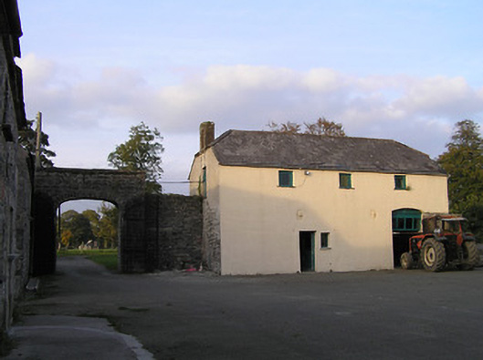 Barraghcore Housefarmyard complex · 35 yd
 Enclosure in DuningaEnclosure · 274 yd
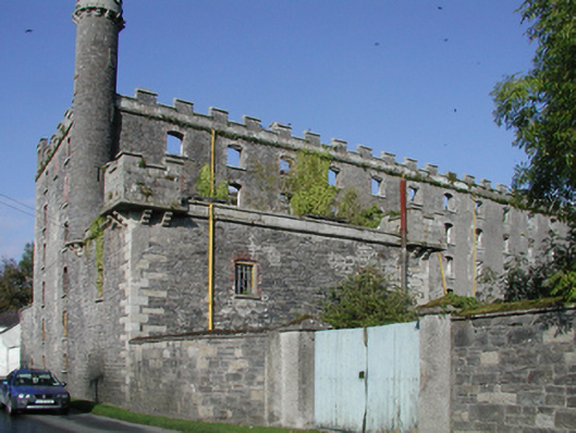 mill (water)mill (water) · 480 yd
 Enclosure in Grange LowerEnclosure · 794 yd
 Site of CastleCastle, unclassified · 1.2 mi
 Lord Galmoys Catle (in ruins)Castle, unclassified · 1.8 mi
 The Green GardenWood · 2.7 mi
 Church (in ruins), GraveyardChurch · 3.0 mi
 Lock Keeper's House and Lodge MillsVisitor information · 3.8 mi
 The Columban WayVisitor information · 3.9 mi
 Tinnakeenly BogForest · 4.5 mi
 St. Mogarra’s WellSpring · 6.7 mi