
What is recorded here
In tillage. A curvilinear cropmark identified as a possible enclosure on an aerial photograph (CUCAP BGH018, 16 July 1971). The monument (dims. c. 54m N-S; c. 40m E-W) is defined by a fosse and appears to be truncated by a road running roughly N-S through the E sector. A house was constructed in 2019 c. 10m NNW of the monument and the SE portion of the house plot encroaches on the NW sector of the enclosure.
See attached:
KK021-021----_01 aerial photograph CUCAP BGH018, 16 July 1971
KK021-021---_02 satellite imagery Google Earth, 14 July 2018
Compiled by: Jean Farrelly
Date of upload: 20 April 2021
The monument record does not grant public access. Check the route and ask the landowner before entering private land.
- What survives
- Recorded monument
Places near here
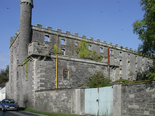 mill (water)mill (water) · 484 yd
 Upper Ballyellin Locklock · 500 yd
 Enclosure in DuningaEnclosure · 759 yd
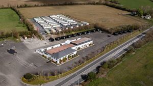 Enclosure in Kilgraney (idrone East By.)Enclosure · 1142 yd
 Site of CastleCastle, unclassified · 1.2 mi
 Lord Galmoys Catle (in ruins)Castle, unclassified · 1.5 mi
 The Green GardenWood · 3.1 mi
 Church (in ruins), GraveyardChurch · 3.5 mi
 Tinnakeenly BogForest · 4.0 mi
 Lock Keeper's House and Lodge MillsVisitor information · 4.2 mi
 The Columban WayVisitor information · 4.3 mi
 St. Mogarra’s WellSpring · 6.9 mi
Other information
Photo: Credit not shown in the picture search · Rights wording not checked; contact us if this picture should be removed