What is recorded here
King's House became a barracks in 1761 when the Royal Irish Regiment of Artillery moved in, using the adjoining Phoenix Park for gunnery practice. The building was soon judged too small, and soldiers clashed repeatedly with neighbouring residents until the army left for Islandbridge around 1798. Chapelizod still appeared as a barracks in 1801 and 1812, then passed to the police in 1822 before the government sold the site in 1832 and fire destroyed what remained.
Chapelizod Barracks/King's House Barracks
A barracks at Chapelizod was recorded in 2025 in the ‘Our Shared Built Military Heritage: The online mapping, inventorying and recording of the Army Barracks of Ireland, 1690-1921' a project that was funded by the North South Research Programme 2022-2024 and co-led by University College Dublin and The Open University' (Forbes and McGrath 2025). The barracks was described in the inventory of the ‘Army Barracks of Ireland - Our Shared Military Heritage, 1690-1921’ as follows; ‘A barracks was established at Chapelizod in 1761 for the Royal Irish Regiment of Artillery. It was said to be situated in and around King’s House, which had served in the late seventeenth and early eighteenth centuries as an alternative residence for Irish chief governors wishing to avoid the less salubrious surroundings of Dublin Castle. The name came from the fact that William III stayed there for several days following his victory over James II at the Boyne in 1690. The location facilitated artillery training in the adjoining Phoenix Park but the building was soon deemed too small for the artillery regiment, while what were described as excessive interactions with the local residents were also raised as problematic. Eventually a new artillery barracks was constructed at Islandbridge c. 1798. However, Chapelizod continued to be listed as a barracks in the early nineteenth century. In 1801 it was recorded as having capacity for 536 soldiers, while it was still being leased by the military in 1812-13. In 1820 the site was listed for sale or lease, and by 1822 it was occupied by units of the nascent police force and ceased to be utilized by the military thereafter. King’s House was recorded on early Ordnance Survey maps. The site was sold by the government in 1832 and later destroyed by fire’.
Compiled by: Caimin O'Brien based on description taken from inventory of the ‘Army Barracks of Ireland - Our Shared Military Heritage, 1690-1921
Date of Compilation: 11 November 2025
The monument record does not grant public access. Check the route and ask the landowner before entering private land.
- What survives
- Recorded monument
Places near here
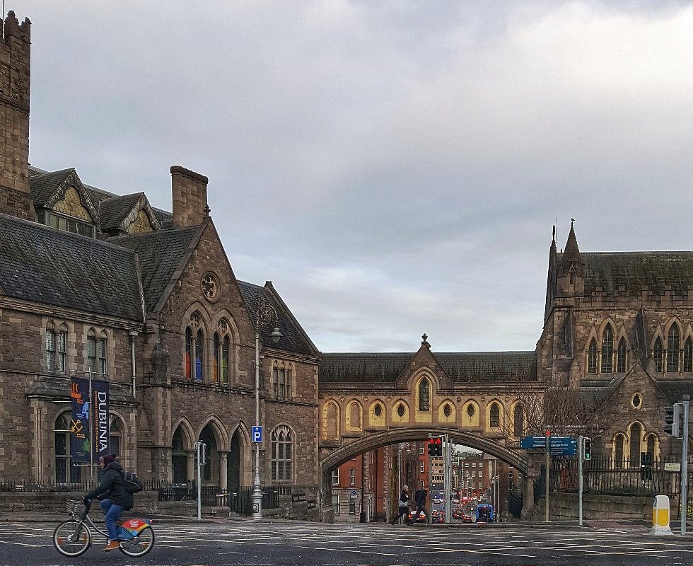 IndicatedHouse, 17th century · 10 yd
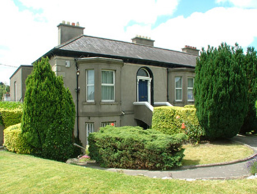 Presbyteryhouse · 98 yd
 Town defences in Unknown TownlandTown defences · 316 yd
 Graveyard in Unknown TownlandGraveyard · 350 yd
 Knockmaree DolmenArchaeological place · 408 yd
 Oldtown WoodWood · 1457 yd
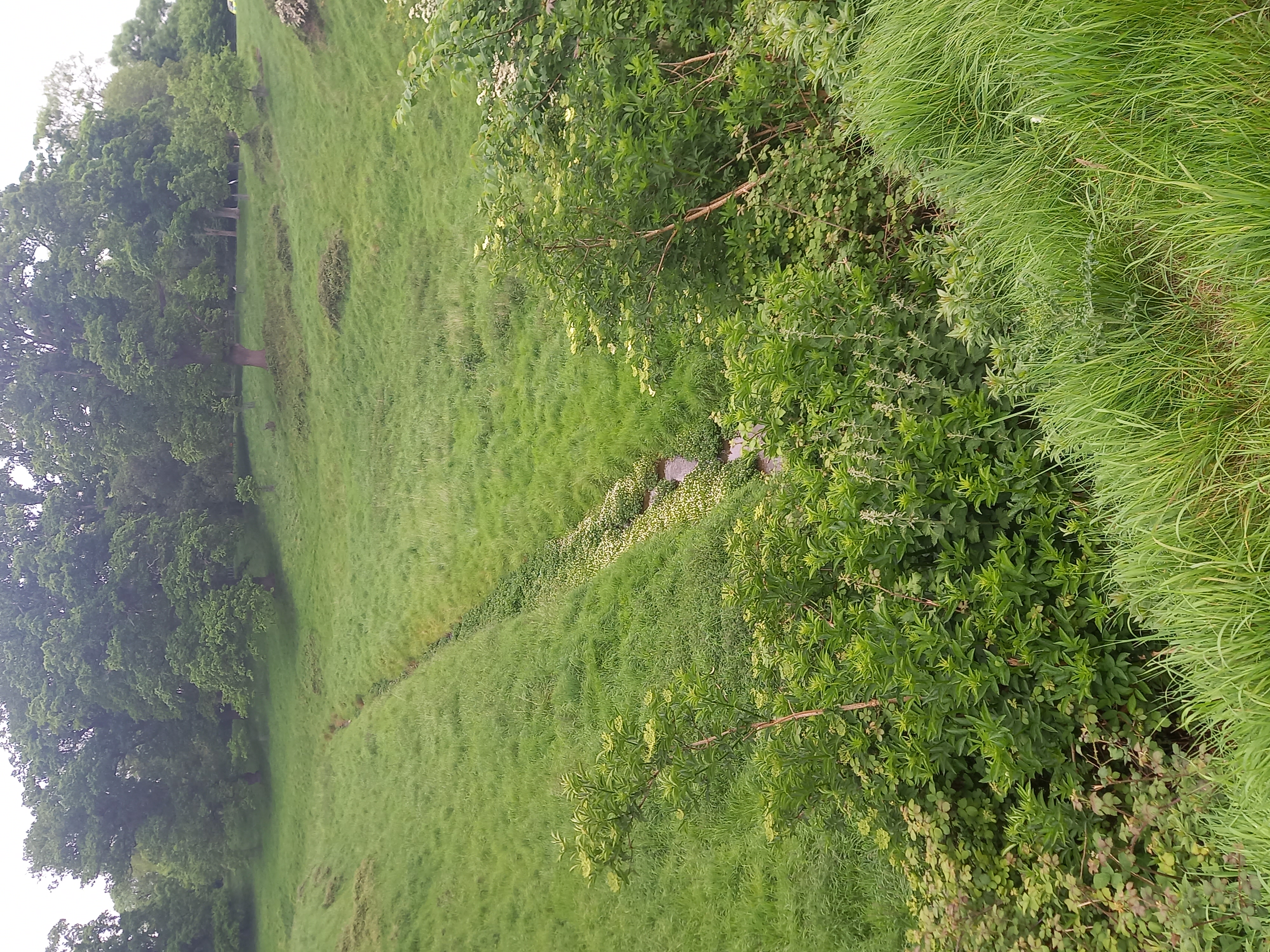 Furry GlenWood · 1510 yd
 Graveyard in Palmerstown LowerGraveyard · 1.1 mi
 Toni'sPicnic place · 1.2 mi
 Kilmainham Jail MuseumMuseum · 1.4 mi
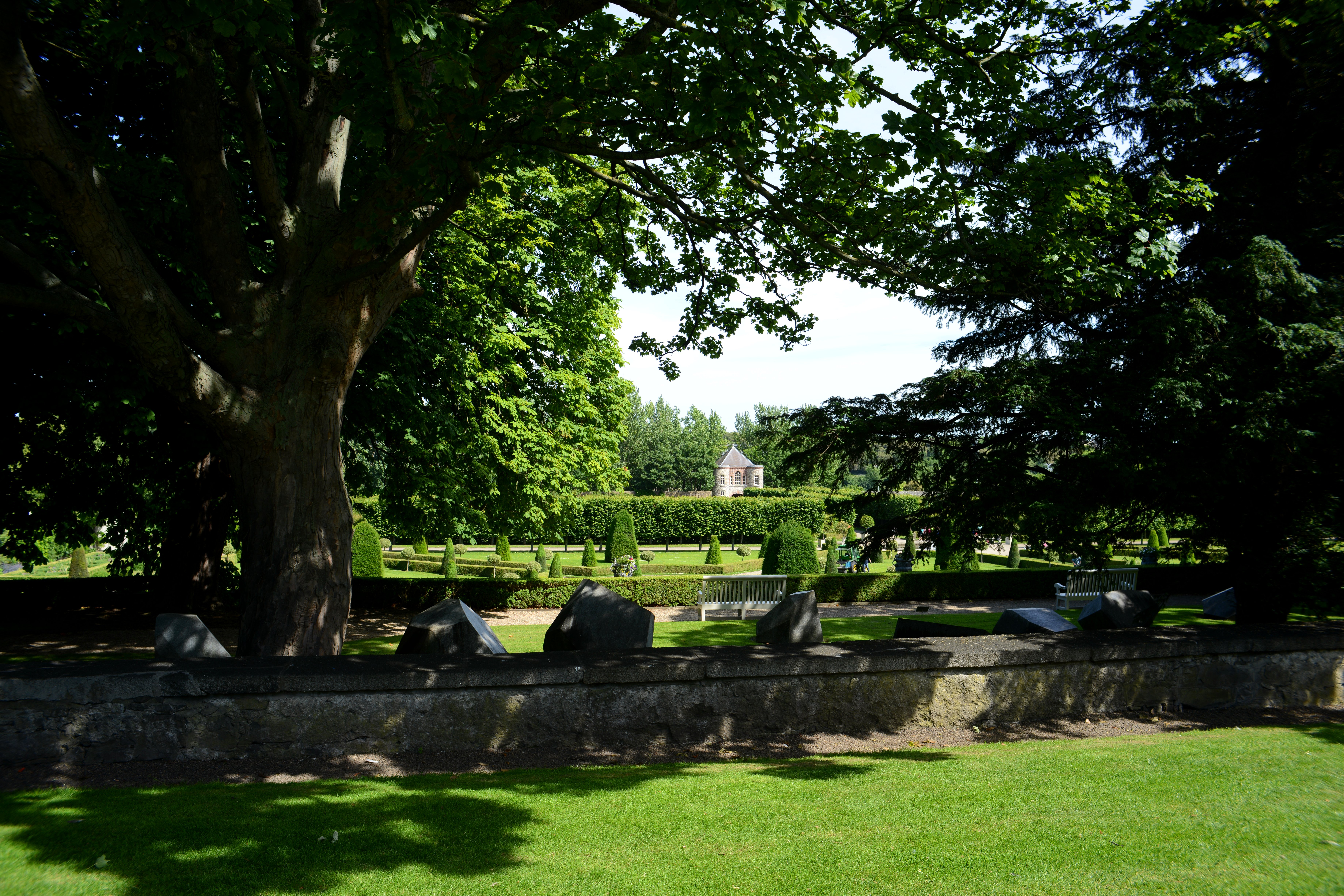 The Formal Garden at The Royal Hospital KilmainhamHeritage attraction · 1.7 mi
 Gairdín Foirmiúil Ospidéal Ríoga Chill MhaighneannVisitor information · 1.7 mi