What is recorded here
In rough upland pasture, dotted with rushes and clumps of gorse, and strewn with stones and disused field walls. This cairn (3m NE−SW; 2.7m NW−SE; H 0.7m) surrounds the base of a pair of standing stones (DG012-018001-). The bulk of the cairn is piled against the NW face of the standing stones, and in its NE-SW length, ends more or less flush with the NW stone but extends a little beyond the SE stone. It fills the intervening space (Wth c. 0.75m NE-SW) between the stones and spills out to NW and SE between the two stones, and has a gently domed NW−SE profile. Along its NW side, medium to large sized stones, some of which are embedded in the ground surface, are visible in the basal layer of the cairn. A number of large stones lie on top of the basal layer and piled above this is a loose, jumbled heap of small to medium-sized stones, resembling field clearance. The antiquity of the cairn is uncertain. It appears to post-date the standing stones. It may be the result of the incorporation of the standing stones into a later field fence, now removed, or it may simply be a field clearance heap.
Compiled by: Jane O'Shaughnessy
Date of upload: 11 July 2016
Neolithic cairn with associated standing stones, dating to approximately 4000–2500 BCE. The site represents a ritual or funerary monument, typical of early farming communities in Ireland.
The monument record does not grant public access. Check the route and ask the landowner before entering private land.
- What survives
- Recorded monument
Places near here
 outbuildingoutbuilding · 652 yd
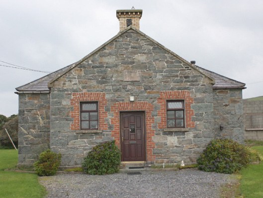 Carrowbeg National Schoolschool · 1222 yd
 Tremone BayBeach / strand · 1676 yd
 The Spanish Armada 1588Memorial · 1.4 mi
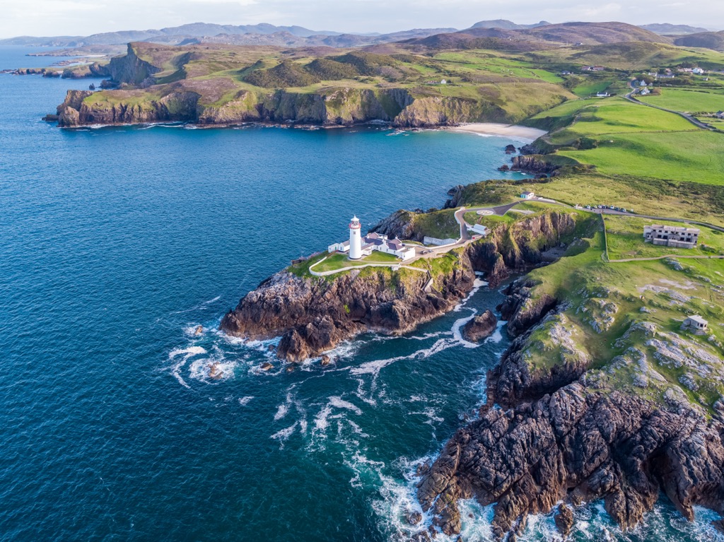 Glennagiveny Bay Cliff-Edge Fairy FortFairy fort / earthen ringfort · 2.2 mi
 Sweathouse in Carrowblagh OR LeckemySweathouse · 2.3 mi
 CrockaulinMountain / peak · 3.4 mi
 CuldaffOfficial bathing water · 4.4 mi
 CastleCastle, unclassified · 4.9 mi
 Inishowen Maritime Museum and PlanetariumMuseum · 5.1 mi
 Cliffs, Inishowen HeadPublicly named cliff or headland · 5.1 mi
 GreencastleCastle · 5.1 mi