What is recorded here
A ford, named 'The Ford' is shown along a routeway on the Down Survey (1655-6) map of Longford barony (NLI MS 719) where it crosses the Camlin River; another one is named where it crosses the Fallan River (see LF013-157----). Ballykenny Bridge, dating to the 19th century, may have been built on the site of this ford. No visible surface traces survive. (Doran 2010, 14)
Compiled by: Caimin O'Brien
Date of upload: 10 May 2012
The monument record does not grant public access. Check the route and ask the landowner before entering private land.
- What survives
- Recorded monument
Places near here
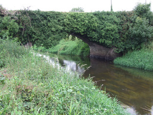 Ballykenny Bridgebridge · 2 yd
 IndicatedFairy fort / earthen ringfort · 602 yd
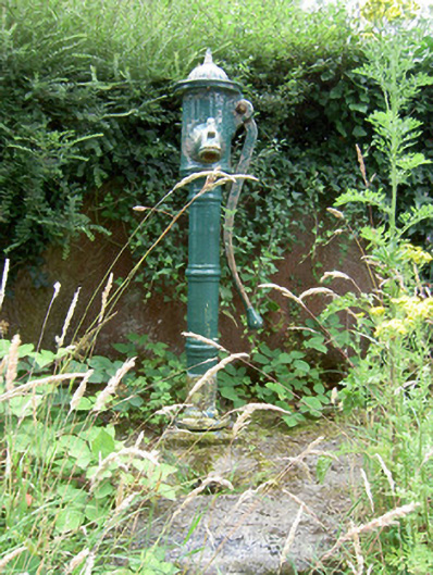 water pumpwater pump · 1333 yd
 Enclosure in LismoreEnclosure · 1.2 mi
 Pedunculate OakPedunculate Oak · 1.4 mi
 Common LimeCommon Lime · 1.4 mi
 CastleforbesCastle · 1.5 mi
 Bawn in Castleforbes DemesneBawn · 1.5 mi
 St. Barry's WellSpring · 2.4 mi
 First World War MemorialMemorial · 2.8 mi
 Saint Mel's CathedralCathedral · 2.8 mi
 Graveyard in Curry (ardagh By., Coolamber Ed)Graveyard · 4.4 mi