What is recorded here
Listed as ‘Enclosure’ in the RMP (1996). Hachured on the OS 1840 6-inch map and hachured and named ‘Ballyduff Fort’ on the 1919 OS 6-inch map. Situated on a S-facing slope near the summit of a prominent hill in an area of cleared and drained fertile pasture with excellent views. The area has been cleared and the enclosure almost levelled. A circular flat platform (diam. 25m N-S) remains defined by a shallow earthen scarp (H 0.6m) with a berm (Wth c. 7m) along its perimeter (diam. including berm 40m N-S). A large fort is remembered locally.
Compiled by: Mary Tunney
Date of upload: 12 July 2016
Ballyduff Fort is a ringfort, likely dating to the early medieval period, situated on a prominent hillside. It is associated with local folklore referring to it as a "fairy fort," reflecting the common Irish tradition linking such sites to supernatural or otherworldly beings.
The monument record does not grant public access. Check the route and ask the landowner before entering private land.
- What survives
- Recorded monument
Places near here
 TobereenaghHoly well · 1597 yd
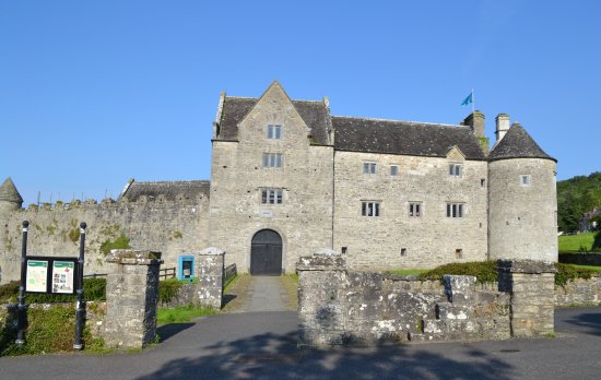 Enclosure in LeckaunEnclosure · 1717 yd
 CastleCastle, unclassified · 1.0 mi
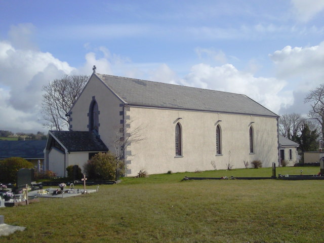 Saint Joseph's Catholic Churchchurch/chapel · 1.5 mi
 Magowna CastleCastle · 2.5 mi
 European ashEuropean ash · 2.7 mi
 Inagh Bridgebridge · 2.7 mi
 Poul na gollorCave · 4.3 mi
 Ballygriffy WoodWood · 5.0 mi
 Battle of TullyodeaBattlefield · 5.8 mi
 Alice and Gwendoline CaveMuseum · 5.9 mi
 Killone AbbeyHeritage attraction · 6.6 mi
Other information
Photo: Credit not shown in the picture search · Rights wording not checked; contact us if this picture should be removed