
What is recorded here
In improved pasture on a SSE-facing slope, with good views, especially to S and within an extensive multiperiod field system (CL009-059001-). Hachured and named ‘Ballybreen Fort’ on the 1842 ed. of the OS 6-inch map. Similarly named on the 1897 OS 25-inch map and depicted as an incomplete circle open to the NNW.
A somewhat overgrown circular enclosure (int. dims. 25.75m) defined by grassed-over wall collapse (Wth c. 1m) surmounted by a drystone wall (H 1.5m), probably of a later date. Two partly blocked-up alcoves (L 1m; Wth 1m) are visible in inner wall-face at E. The interior slopes gently to the S. A curving bank (Wth 7m; H 0.8m) visible on Digital Globe (2011-2013) extends from S to W at a distance of c. 33m from S and c. 14m from W.
Two modern gates in the E and W walls give access to the interior which is currently serving as a cattle paddock. A concentric wall 4m outside the perimeter of the enclosure wall forms an avenue possibly now used for separating livestock.
Compiled by: Mary Tunney and Lynda McCormack
Date of upload: 1 February 2022
Ballybreen Fort is a ringfort, likely dating to the early medieval period, situated on a sloping site with strategic views. It is associated with local folklore surrounding fairy activity, as is common with such sites in Irish tradition.
The monument record does not grant public access. Check the route and ask the landowner before entering private land.
- What survives
- Recorded monument
Places near here
 IndicatedEnclosure · 421 yd
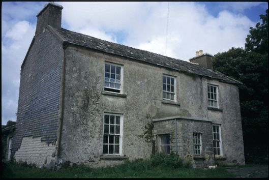 The Deaneryrectory/glebe/vicarage/curate's house · 430 yd
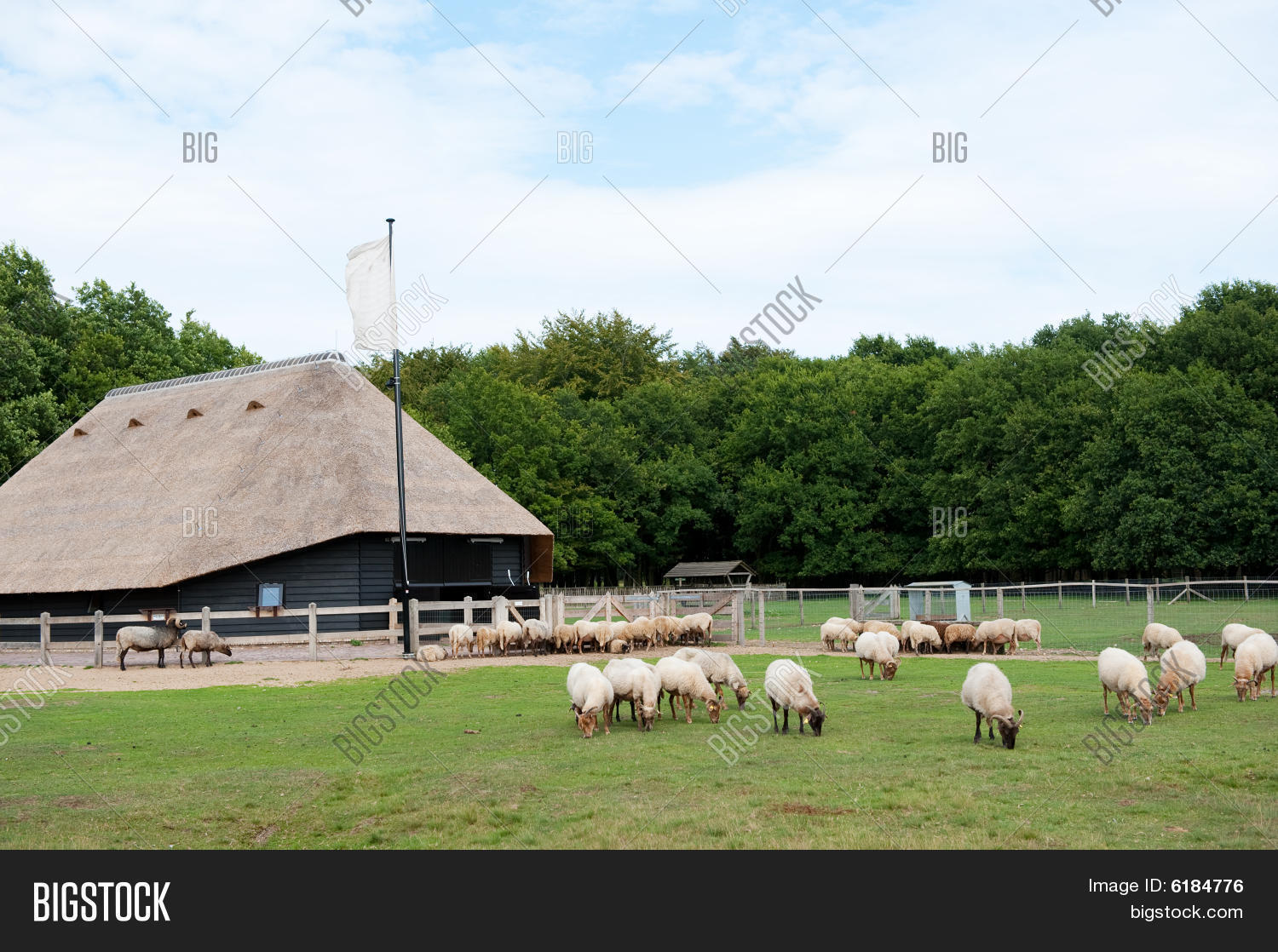 Sheep foldEnclosure · 710 yd
 CashlaunawoggaCastle, tower house · 977 yd
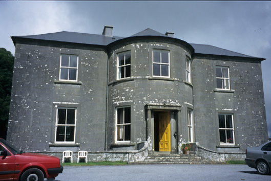 Ballykeel Housecountry house · 1069 yd
 Site of Fanta Cas.Castle, tower house · 1365 yd
 High CrossHeritage attraction · 1389 yd
 Burren Centre KilfenoraVisitor information · 1416 yd
 Ballyteigue Nature ReserveNature reserve · 2.6 mi
 Cahermacnaghten CashelHeritage attraction · 4.0 mi
 Cullaun 5 (C5b)Cave · 4.2 mi
 Cullaun 5 (C5)Cave · 4.4 mi
Other information
Photo: Credit not shown in the picture search · Rights wording not checked; contact us if this picture should be removed