
What is recorded here
A riverine archaeological assessment by Rex Bangerter (A005/1008) took place as part of the proposed Limerick southern ring road (Phase II), Southern Contract. A pre-disturbance assessment of a 300m stretch of Ballynaclogh River (Area UA2) was undertaken and an archaeological assessment of Ballinacurra Bridge was made. Two features of archaeological interest were identified: Site 1, a series of timber pilings located 75m downstream of Ballinacurra Bridge (LI013-227----), and Site 2, an early bridge structure encased between the 19th- and 20th-century components of the existing road bridge. The castle of Ballinacurra (LI013-114----) is depicted standing beside a bridge (LI013-012----) crossing Ballynaclogh River on the 17th century Down Survey map of South Liberties Barony (Hib. Reg.). A tower house like castle is depicted standing close to Ballinacurra Bridge (LI013-012----) and a watermill on the 17th century Down Survey map of the parishes of St. Michael's and St. Nicholas (NLI, MS. 718).
Compiled by: Denis Power
Revised by: Caimin O'Brien
Date of revised upload: 26 November 2020
The monument record does not grant public access. Check the route and ask the landowner before entering private land.
- What survives
- Recorded monument
Places near here
 Riverine revetment in Ballinacurra (hart),ballykeeffeRiverine revetment · 87 yd
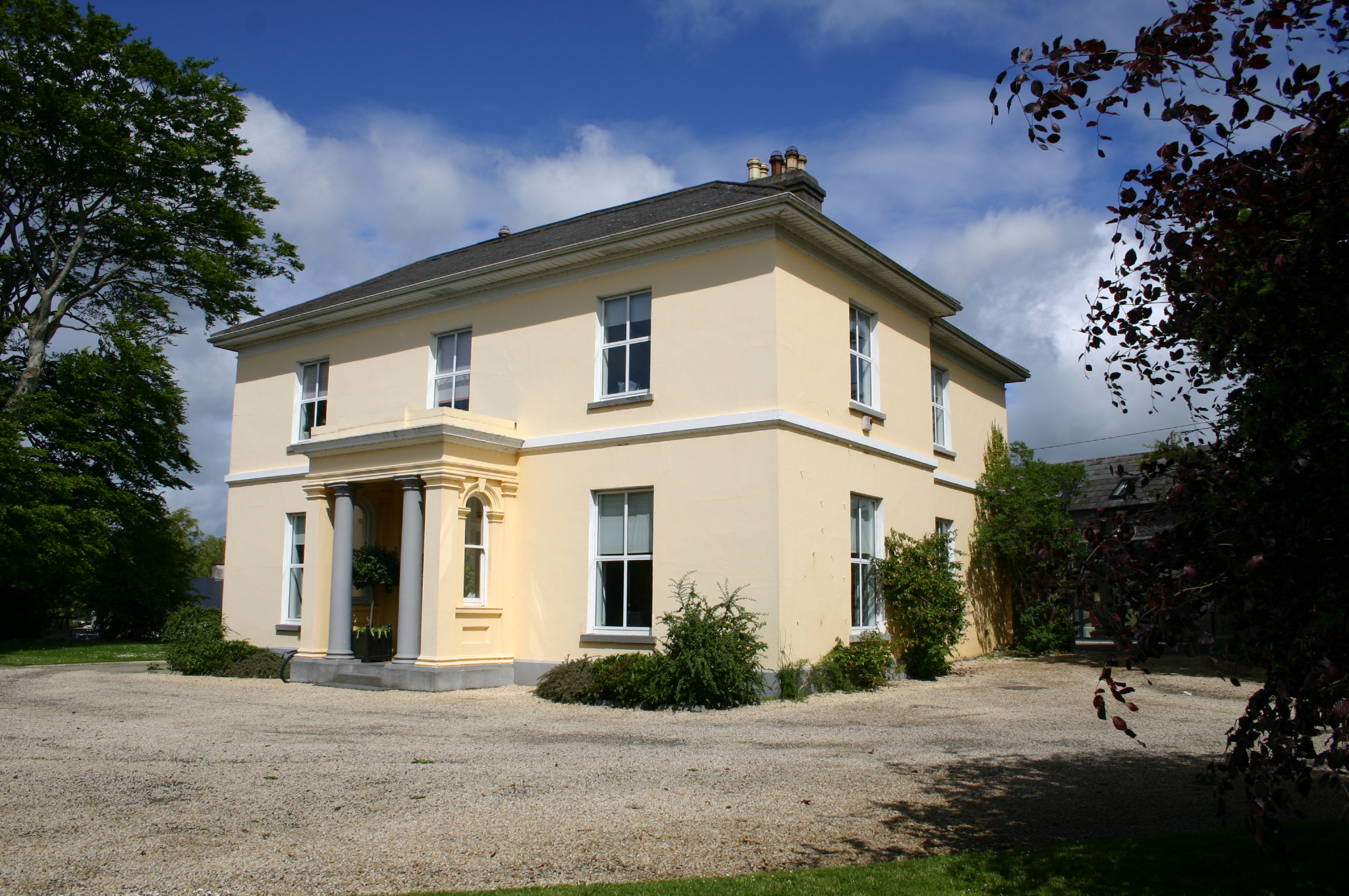 Ballinacurra Househouse · 138 yd
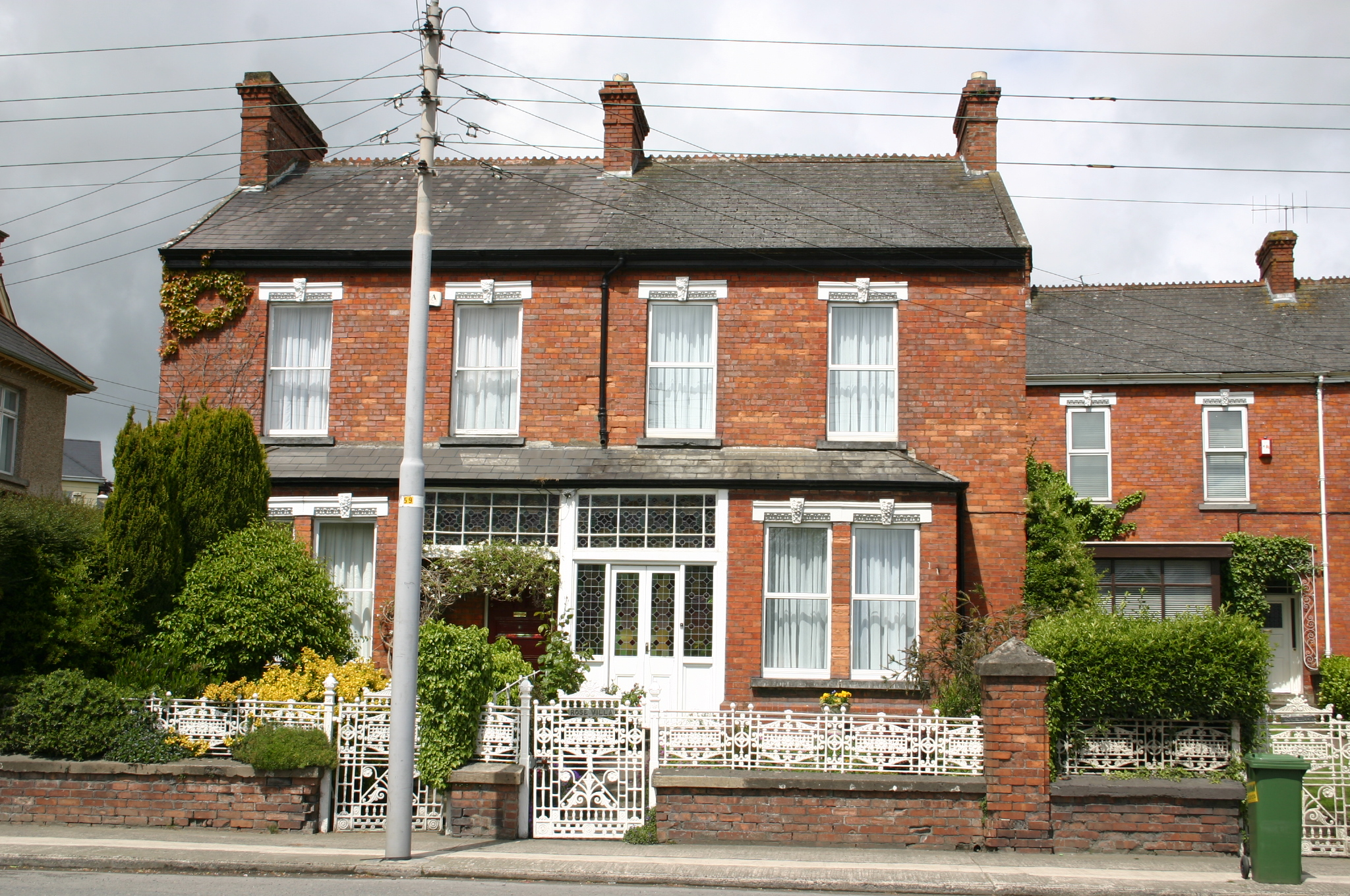 Rose Villahouse · 228 yd
 Lissadaha (1924) - HachuredFairy fort / earthen ringfort · 756 yd
 Limerick Seamen's MemorialMemorial · 1.4 mi
 Saint John Paul IIMemorial · 1.4 mi
 Castle Blake or Farranshone (Site of)Castle, unclassified · 1.9 mi
 CastleCastle, unclassified · 2.0 mi
 Fountain SculptureHeritage attraction · 3.7 mi
 Visitor CentreVisitor information · 3.8 mi
 Campus MapVisitor information · 3.8 mi
 Seán Keating GalleryGallery · 4.5 mi
Other information
Photo: Credit not shown in the picture search · Rights wording not checked; contact us if this picture should be removed