What is recorded here
Balleelaghan Recorded Burial Ground occupies a narrow strip of Donegal pasture, trapped between a western rock outcrop and a whispering eastern stream. The exact boundary remains blurred, suggesting the dead may have chosen ambiguity over measurement. Cows still graze above the forgotten, turning ancient grief into ordinary motion while the stream carries rain toward the sea.
There is some confusion as to the actual location of this 'Burial Ground'. It is generally situated in pasture between a rock outcrop to the W and a stream to the E.
The above description was derived from the 'Archaeological Survey of County Donegal. A description of the field antiquities of the County from the Mesolithic Period to the 17th century.' Compiled by: Brian Lacey with Eamon Cody, Claire Cotter, Judy Cuppage, Noel Dunne, Vincent Hurley, Celie O'Rahilly, Paul Walsh and Seán Ó Nualláin (Lifford: Donegal County Council, 1983). In certain instances the entries have been revised and updated.
Date of upload: 22 September 2008
The monument record does not grant public access. Check the route and ask the landowner before entering private land.
- What survives
- Recorded monument
Places near here
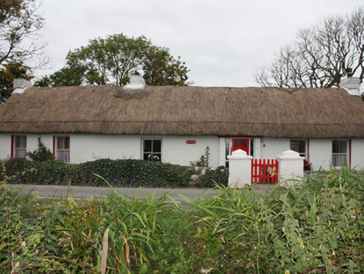 Rose Cottagehouse · 701 yd
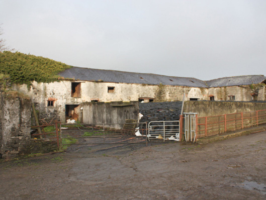 Malin Halloutbuilding · 1086 yd
 Magheranaul Wedge TombWedge tomb · 1.5 mi
 Castle FortEnclosure · 1.6 mi
 Lag GraveyardGraveyard · 2.0 mi
 Doagh Famine VillageMuseum · 2.1 mi
 Dough Famine VillageHeritage attraction · 2.1 mi
 CastleCastle, unclassified · 2.2 mi
 Five Finger StrandBeach / strand · 2.3 mi
 Bawn in CarrickabraghyBawn · 3.6 mi
 Carndonagh Early Church GraveyardGraveyard · 3.8 mi
 Glashedy IslandIslet · 4.6 mi