
What is recorded here
Internal diam. 21m × 14.5m. An oval enclosure set in a scarp in the hillside sur-rounded by a collapsed stone wall. The wall averages 3.5m in width. There are also a lot of stones in the surrounding field ditches. The site is densely over-grown. Local tradition claims that it was once used as a graveyard. It is situated in good land half-way up a slope which looks S over the Lagan Valley.
The above description was derived from the 'Archaeological Survey of County Donegal. A description of the field antiquities of the County from the Mesolithic Period to the 17th century.' Compiled by: Brian Lacey with Eamon Cody, Claire Cotter, Judy Cuppage, Noel Dunne, Vincent Hurley, Celie O'Rahilly, Paul Walsh and Seán Ó Nualláin (Lifford: Donegal County Council, 1983). In certain instances the entries have been revised and updated.
Date of upload: 22 September 2008
The monument record does not grant public access. Check the route and ask the landowner before entering private land.
- What survives
- Recorded monument
Places near here
 Ballylennon Presbyterian Churchchurch/chapel · 282 yd
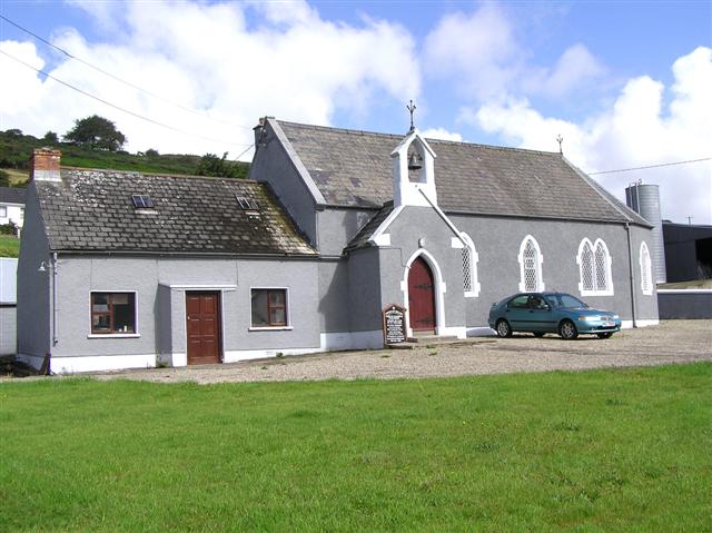 St. Columba Church of Ireland Chapel of Easechurch/chapel · 1180 yd
 Feddyglass WoodWood · 1.0 mi
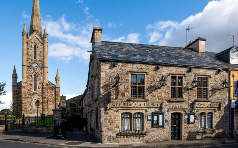 Former Creatland / Gillystown Fairy FortFairy fort / ringfort · 1.1 mi
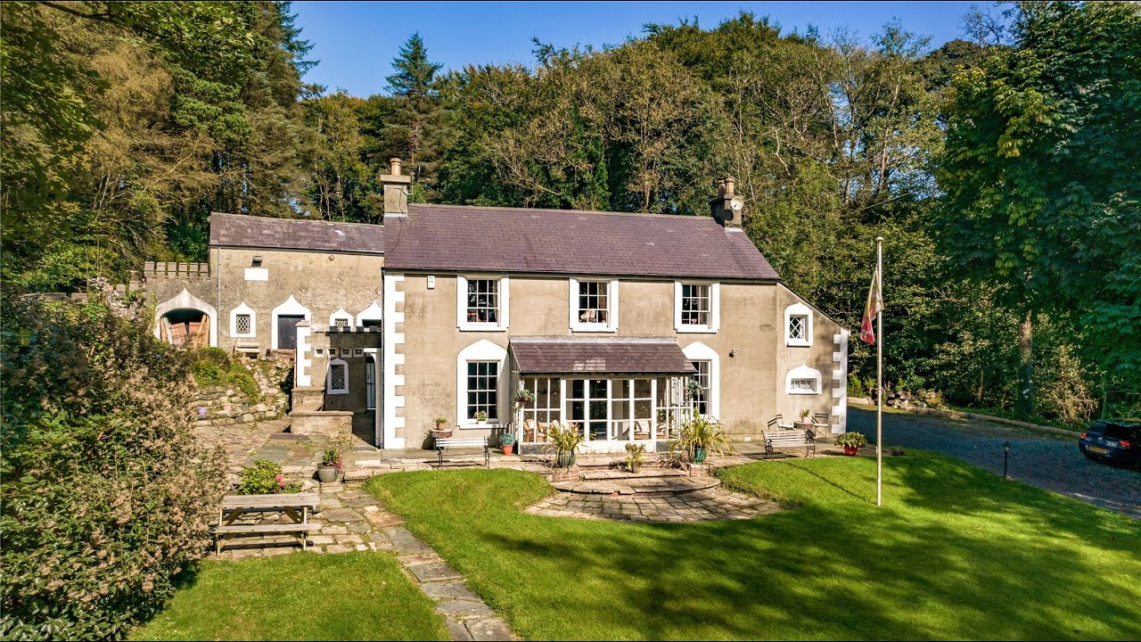 Enclosure in DrummucklaghEnclosure · 1.3 mi
 Mongavlin CastleHouse, fortified house · 2.4 mi
 BATTLE SITE: BATTLE OF THE FORDS, Northern crossing, 1689 in Ballydonaghy; Greenlaw; LeckpatrickBATTLE SITE: BATTLE OF THE FORDS, Northern crossing, 1689 · 2.9 mi
 PalaceHouse, fortified house · 3.7 mi
 BATTLE SITE: BATTLE OF THE FORDS, Central crossing, 1689 in Magirr; Town Parks OF StrabaneBATTLE SITE: BATTLE OF THE FORDS, Central crossing, 1689 · 4.2 mi
 Mongorry HillMountain / peak · 4.5 mi
 Strabane Glen (Bird Sanctuary)Wood · 4.5 mi
 Abercorn FactoryHeritage attraction · 4.5 mi
Other information
Photo: Credit not shown in the picture search · Rights wording not checked; contact us if this picture should be removed