
What is recorded here
Badgworthy Hill is shown as a mountain / peak on the public map of North Devon. The saved point is the map point or the centre of its mapped shape.
This does not grant access. Check current paths, opening conditions and ownership before entering.
Places near here
 Waterfall on Lanacombe StreamWaterfall · 444 yd
 Waterfall and barrier on Hoccombe WaterWaterfall · 588 yd
 Hoccombe Combe prehistoric stone rowAncient stone or rock art · 760 yd
 Trout Hill 4 prehistoric stone rowAncient stone or rock art · 805 yd
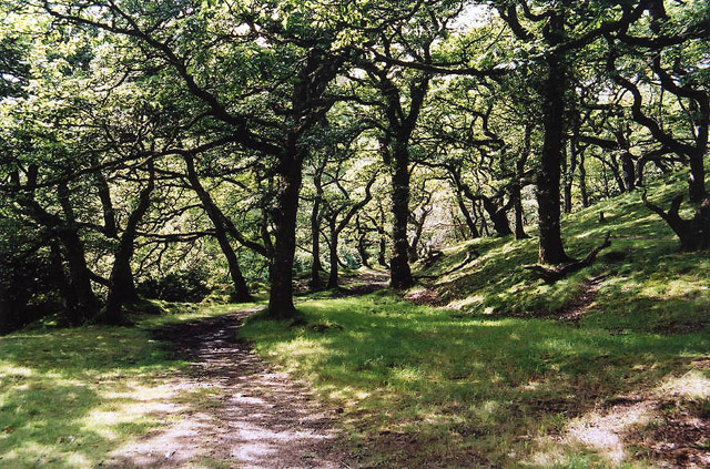 Brendon: Badgworthy WoodForest or wood · 1.1 mi
 Stowey AllotmentMountain / peak · 1.3 mi
 Great BuscombeMountain / peak · 1.3 mi
 Copper WoodWood · 2.1 mi
 Church of St MaryListed building · 2.3 mi
 Cattle in pasture opposite Oare Church Oare Exmoor SomersetChurch, cross or graveyard · 2.3 mi
 Iron Age defended settlement called Roborough CastleScheduled monument · 3.9 mi
 Cow Castle ExmoorCastle, fort or tower · 3.9 mi
Other information
Photo: Bill Boaden · CC BY-SA 2.0